

Cartography
GUAD20 "Guadiana: Navigable Natural Heritage
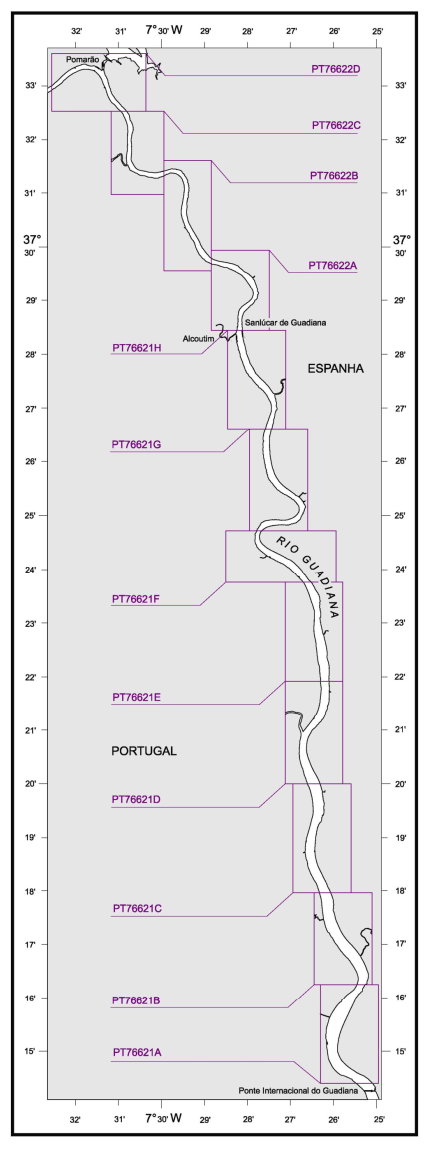
The GUAD project 20 “Guadiana: Navigable Natural Heritage”, funded by the Portuguese-Spain Transboundary Cooperation Operational Program (POTEP INTERREG V-A 2014-2020), counts as partners the Public Agency of Puertos de Andalucia (Promoting Entity), the Direção-Geral de Recursos Naturais, Segurança e Serviços Marítimos (DGRM) and the Instituto Hidrográfico (IH). The main objective of this project is to rehabilitate the navigability of the Guadiana river, in the international section between Vila Real de Santo António and Pomarão, in security conditions, as well as rehabilitating existing port infrastructures on both banks. The IH was the entity responsible for the production of the official hydrographic cartography of the Guadiana waterway between Vila Real de Santo António and Pomarão.
Download
You can see metadata or download it via the Hidrográfico + Portal Electronic Letters of the Guadiana Navigable Way or through the links provided below.
When downloading the files you accept the conditions for using the charts.
Guadiana River- From the International Bridge to Alcoutim Last updated: NOV2022
Guadiana River - From Alcoutim to Pomarão Last updated: NOV2021
All rights reserved. These cells are protected by copyright. Any reproduction or adaptation of the part or the whole of this document, in analog or digital format, shall require express authorization from the Hydrographic Institute.
Make sure you have your cells up-to-date. Please refer to the Monthly Group of Notices to Mariners.
33 
2024-05-27