

Safety of Navigation
In accordance with the Safety Of Life At Sea (SOLAS) Convention, all ships shall keep on board, duly updated, appropriate and necessary nautical publications for planning and viewing the routes to be carried out.
The Hydrographic Institute is the entity that publishes the Nautical Publications in Portugal. All information on these publications as well as the Nautical Forms and various manuals and regulations related to maritime navigation are available here.
Tide Tables
The Tide Tables are published annually in two volumes and contains official tide forecasts for the national territory, as well as for the Portuguese-speaking African Countries.
Currently, the Hydrographic Institute allows access to the Tide Tables, free of charge available in the digital version Online Browser Shop.
Sailing Directions
The Hydrographic Institute publishes the Portuguese Sailing Directions, in seven volumes, which contain information complementary to the Nautical Charters, in order to provide the navigators with detailed and up-to-date information for the planning of a trip and for the conduct of navigation, containing different information, including climatology, legislation applicable to ships in Portuguese ports, dangers, port facilities or maritime relief, among others.
You can purchase these publications from Online Browser Shop.
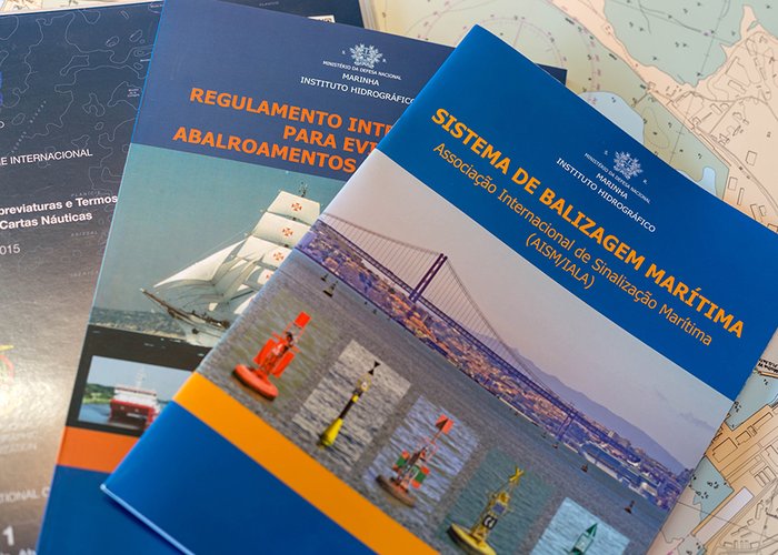
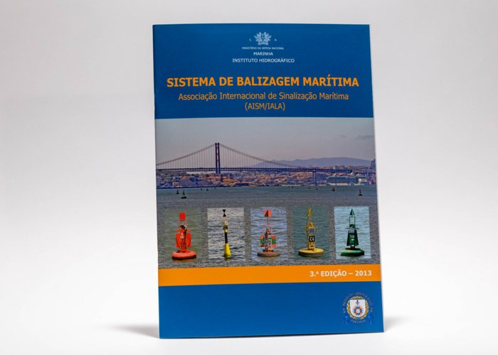
Maritime Buoyage System
It contains the maritime signalling rules of the International Organization for Marine Aids to Navigation (IALA).
You can purchase these publications from Online Browser Shop.
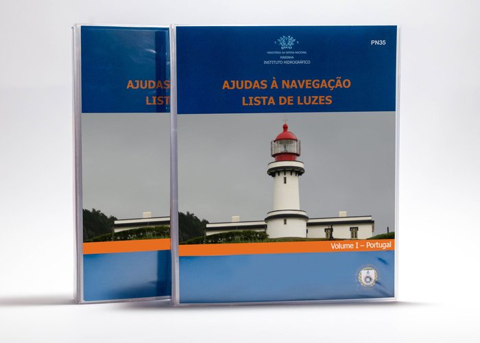
List of Lights
The Hydrographic Institute edits the List of Lights, in three volumes, containing detailed information on aids to navigation, visual and sound navigation and on the characteristics, description and scope of port and coastal sea marking.
Currently, the Hydrographic Institute makes the List of Lights available free of charge on its website Online Browser Shop.
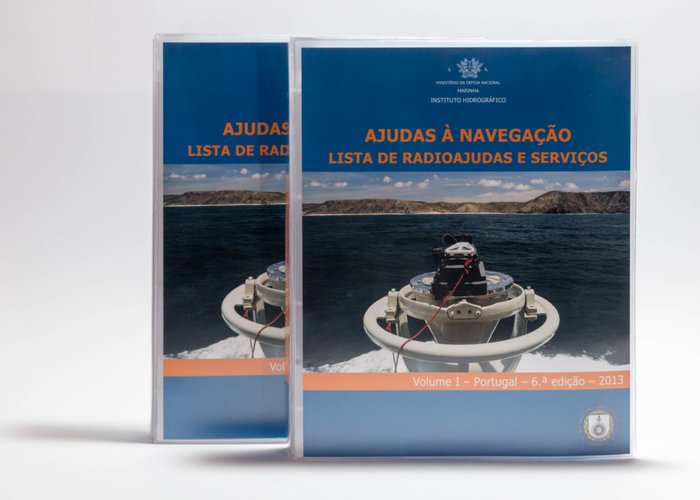
Radio Aids and Services
The Hydrographic Institute publishes the List of Radio Aids and Services, which contain information available on: coastal radio stations; radio-positioning systems, radio navigational aids and hourly signals; maritime safety information; weather observation station; Global Maritime Aid and Safety System - GMDSS; port operations and pilotage services; coastal maritime traffic control services; satellite navigation systems. The information contained in Chapter 11 of this List shall be made available free of charge to the public.
You can purchase these publications from Online Browser Shop.
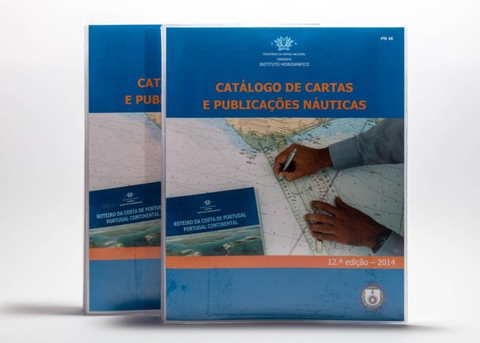
Nautical Charts and Publications Catalogue
The Hydrographic Institute publishes the Catalogue of Nautical Charts and Publications that presents the schemes, with their additional information, of the coverage of the Nautical Cartography and the Nautical Publications of Portugal and the African Countries of Portuguese Official Language, in force and planned.
You can download free on the following site: Catalogue of Letters and Digital Nautical Publications
More information is provided to the navigators who must assiduously check if they have the latest version edited by the Institute.
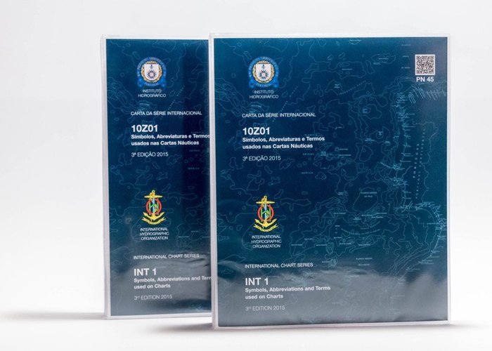
Chart 10Z01 (INT 1) – Symbols, Abbreviations and Terms Used in Nautical Charts
The Hydrographic Institute edits Chart 10Z01 (INT 1) – Symbols, Abbreviations and Terms Used in Nautical Letters to decode the graphical representation of the information contained in the nautical charts. It contains all the symbols, abbreviations and terms used in the Nautical, National and International Charts edited by the Hydrographic Institute.
You can purchase these publications from Online Browser Shop.
Manuals
- Convention on the International Regulations for Preventing Collisions at Sea, 1972 (COLREGs) - contains the rules of manoeuvre at sea. Currently, the Hydrographic Institute (IH) makes the COLREGs available free of charge on its website.
- Manual for Recreation Navigation.
- Maritime Buoyage System - contains IALA maritime signalling rules.
Symbols and Abbreviations of Portuguese Nautical Letters for a better interpretation of nautical letters. - Manual of Hydrography of the International Hydrographic Organization (IHO) - This publication provides foundational knowledge of hydrographic concepts and practical guidance for planning and conducting hydrographic surveys. It serves as a professional reference for hydrographers and as a teaching resource for instructors and students in hydrography courses or programs.
The Hydrography Manual is available in Portuguese at portal of the International Hydrographic Organization. - Manual of Standard S44 - This publication aims to develop a set of requirements for implementing hydrographic data acquisition surveys to produce nautical charts, which will be used for the purposes of safety of navigation and protection of the marine environment.
The Standard S44 Manual is available in portal of the International Hydrographic Organization. - Navigation Manual – provides the theoretical foundations for studying navigation and performing nautical calculations.
You can purchase these publications from Online Browser Shop.
Nautical Tables
Collection of Tables (or Tables), which contain data related to arithmetic, geometry, astronomy and geography for special use of the browser in the current and expedited practice of maritime navigation.
This information is available for free download.
- Part I - Coastal and Estimated Navigation Tables;
- Part II - Astronomical Navigation Tables;
- Part III - Calculation Assistant Tables;
- Part IV - Various Tables;
- Part V - Meteorological Tables.
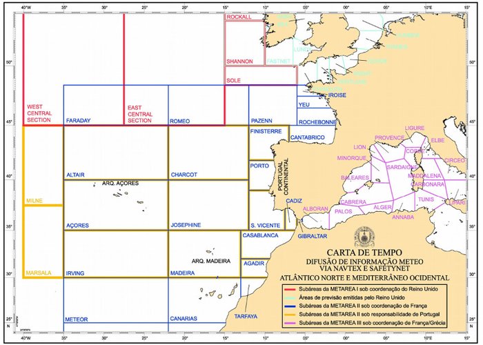
Weather Charts
The Weather Charts available for free download are accompanied by the following explanatory note:
The world is divided into 21 maritime areas of responsibility, called METAREAS, whose coordinating countries are responsible for the dissemination of meteorological information (wind, state of the sea, etc.). Each METAREA is divided into subareas, smaller areas, where the countries located there are responsible for establishing a coordinated system for the dissemination of meteorological information. This meteorological information is disseminated through the NAVTEX system and via SafetyNET. The Weather Charts provided by the Hydrographic Institute allow a better interpretation of the areas and subareas of the North Atlantic, North Sea and Western Mediterranean.
- Weather charts - North Atlantic, North Sea and Western Mediterranean;
- Weather charts - Western Mediterranean North Atlantic.
Products
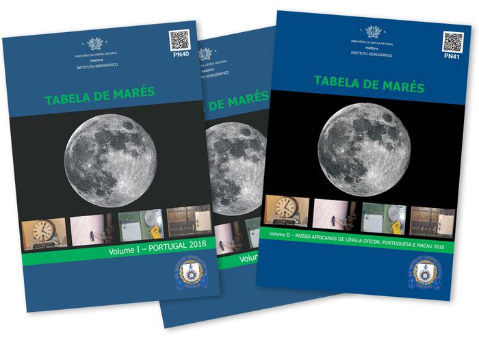
Table of Tides
Screenplay
Sea Baling System
Light List
Radio Help List
Catalogue of Letters and Nautical Publications
Symbols, Abbreviations and Terms Used in Nautical Letters
Time Cards
31 
2024-05-27