

The Hydrographic Institute
The Hydrographic Institute (HI): Navy Organ; National Hydrographic Service; State Laboratory; and hydrographic cartography producer and regulator
Navy Organ
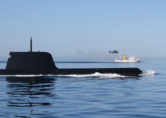
- As the Navy Body, the IH shall support and participate in the planning and execution of naval military operations and other maritime operations, including through its Geospatial, Meteorological and Oceanographic Maritime Center, CGEOMETOC, which shall ensure the management and availability of geospatial, meteorological and oceanographic information;
- Promotes actions in the field of navigation safety, constituting a technical navigation authority for the Navy;
- It conducts studies on the development and application of maritime navigation methods, instruments and systems.
National Hydrographic Service
- The International Convention for the Protection of Human Life at Sea, Chapter 5, assigns to coastal countries the responsibility of ensuring the availability of maritime safety information and updated nautical cartography to seafarers.
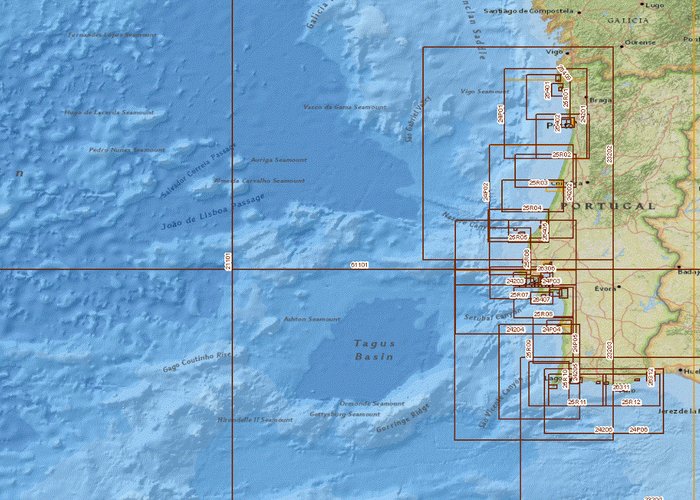
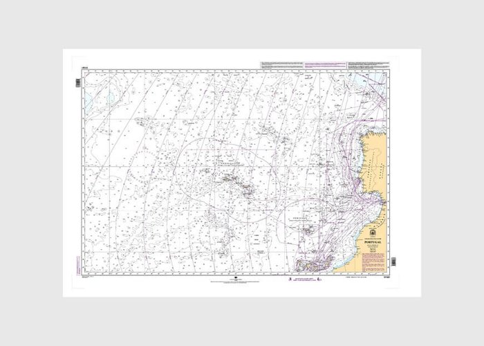
- In Portugal, the HI is the sole producer of nautical mapping of the maritime space of national interest and inland waterways, for maritime safety purposes.
- In Maritime Safety Information, the IH coordinates the NAVTEX service and the publication and dissemination of Notices to Navigators and Notices to Navigation.
- It shall also issue mandatory technical advice on provisional and definitive sea marking projects, or on proposals to amend the existing marking.
State Laboratory
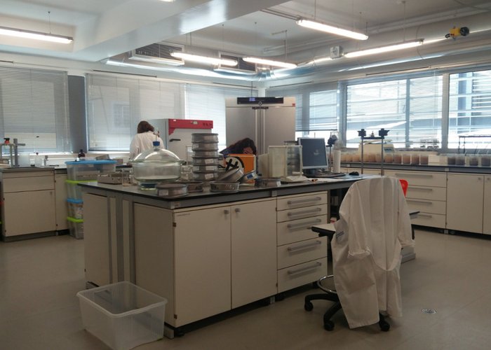
- As State Laboratory, the IH ensures national oceanographic monitoring of tides, maritime agitation, currents and other parameters relevant to the study of the ocean, through the operation of marine observation networks, with the provision of information in almost real time.
- It contributes to research and technological development in oceanographic engineering, ensuring the maintenance, calibration, design, development and construction of sensors, ocean observation systems and equipment.
- Dinamizes and executes marine character and monitoring projects
- It ensures the performance of laboratory analyses of the physico-chemical parameters necessary for the implementation of its projects of environmental characterization and monitoring, being Institute Designated for analysis of silica in sea water and mercury in marine sediments.
- It promotes and conducts applied research, studies and works in the field of hydrography, cartography, navigation, oceanography, chemistry and marine geology, with a view to the knowledge and protection of the marine environment and the blue economy.
- It administers a georeferenced data infrastructure of the marine environment, and the implementation of the National Oceanographic Data Center of Portugal is underway together with IPMA
- Participates in research, development and innovation (ID&I) projects in the field of marine sciences and technologies.
Producer and cartography regulator
- The IH, according to Decree-Law No 193/95 of 28 July, amended and republished by Decree-Law No 130/2019 of 30 August:
- He is the sole producer of official hydrographic cartography in Portugal;
- Regulations the exercise of hydrographic cartography activities by making available technical specifications for cartography production, monitoring production activities, approval of cartographic products and registration of private cartography producing entities.
- The HI produces diverse thematic cartography, especially in this area, the mapping of the surface sediments of the seabed.
Navy Organ
National Hydrographic Service
State Laboratory
Producer and cartography regulator
28 
2021-07-19