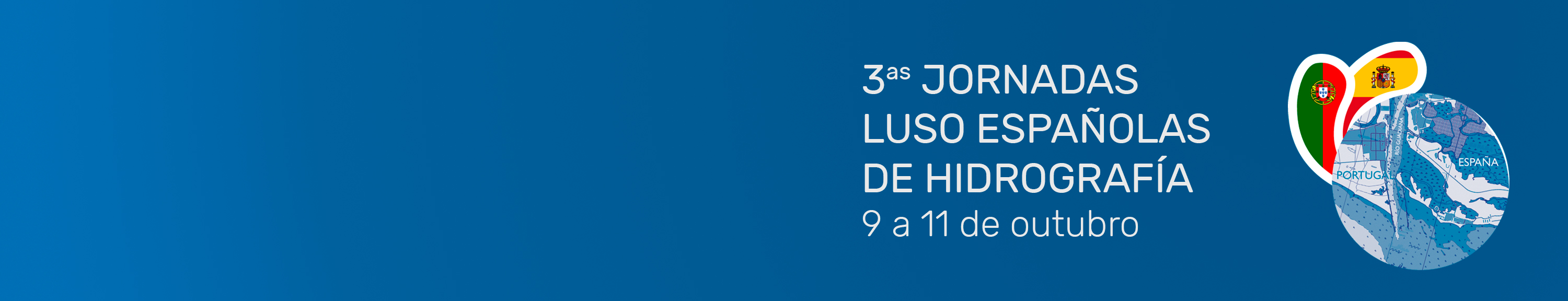
3rd Luso-Spanish Hydrography Conference
The Hydrographic Institute is honored to announce the holding of the 3rd Luso-Spanish Hydrography Conference (3JLEH), which will take place at the Congress Palace in the city of Cádiz, Spain, on the 9th, 10th and 11th of October 2024.

Recruitment of Contracted Military Officers
Do you have a Bachelor's or Master's degree in Scientific areas and are interested in the military environment?

Eventos com orcas na costa Portuguesa
In recent years, the number of events (sightings or interactions) with orcas off the Portuguese coast has been on the rise.
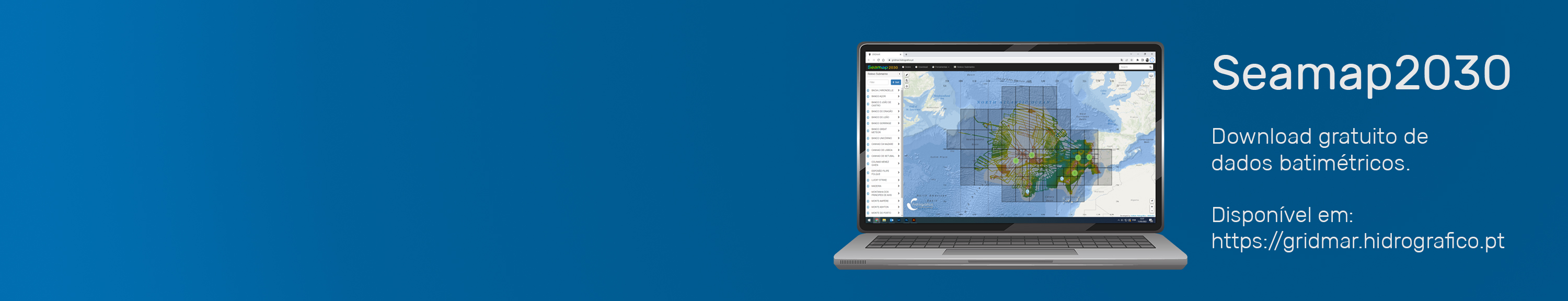
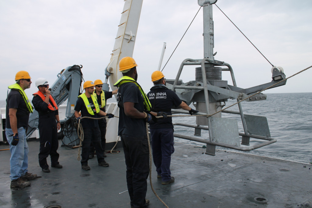
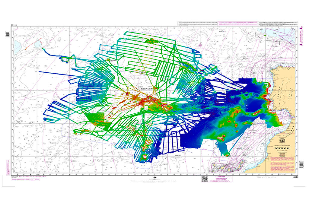
Seamap2030
The Seamap2030 project's ambition is to obtain complete bathymetric coverage of the national maritime spaces by 2030.
The citizen can now access the Seamap2030 data in a simple and intuitive way.
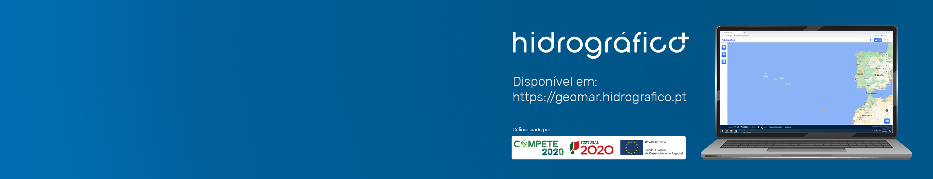
Hidrográfico +
This portal organizes, systematizes and makes available data related to activities at sea, collected by the Hydrographic Institute, for the promotion of economic development and the safe use of the Portuguese sea.
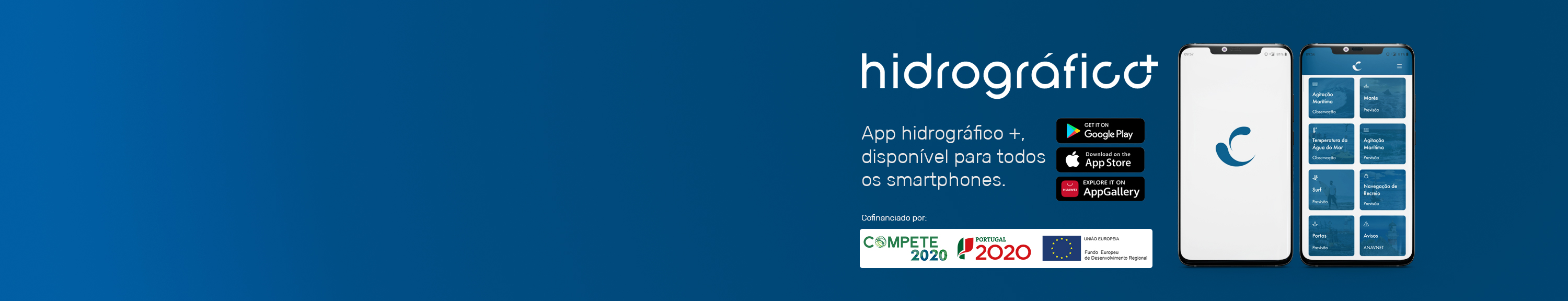
Launch of the new Hidrográfico app
This application offers society mobile and generalized access to oceanographic data and forecasts, constituting another initiative of the Hydrographic Institute to promote economic development and the safe use of the Portuguese sea.
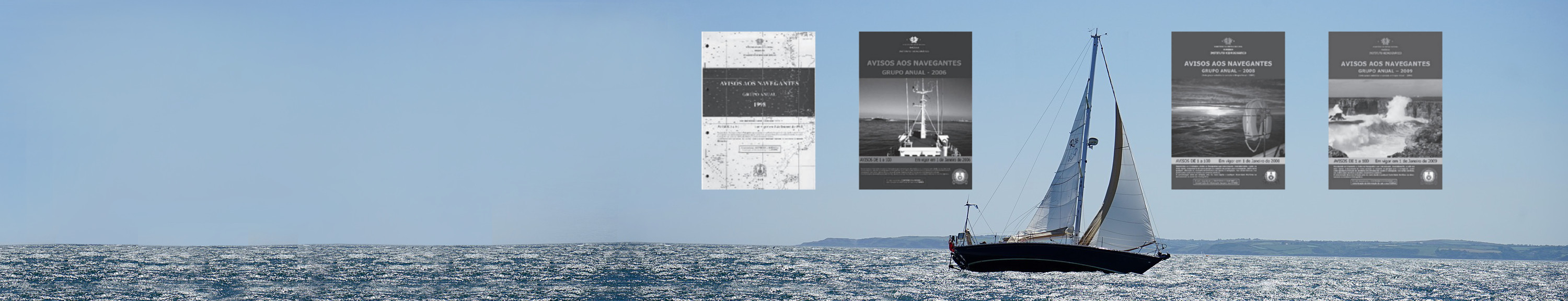
Information for Navigators
The Hydrographic Institute provides the Monthly Group of Notices to Navigators on its page