

World Hydrography Day
2017 Theme: Mapping our seas, oceans and waterways – more important than ever before
The World Hydrography Day, established at the initiative of the International Hydrographic Organization (OHI), aims to disseminate its activity and raise public awareness of the issues of Hydrography and its contribution to the safety of navigation at global level.
The United Nations General Assembly established 21 June as World Hydrography Day. The objective of this Day is to allow the disclosure of the relevance of the International Hydrographic Organisation (OHI) and the hydrographic services of the Member States for the safety of navigation, particularly in ports, areas with high international maritime traffic, in sensitive maritime areas, and the protection of the marine environment.
OHI is an organization that develops work on improving hydrographic and cartographic coverage, and the standardization of specifications, symbols, styles and formats used in cartography and nautical publications.
The Portuguese State is represented in OHI by the Hydrographic Institute. This representation translates into an effective participation in the activities developed by the Organization, both in committees and in working groups.
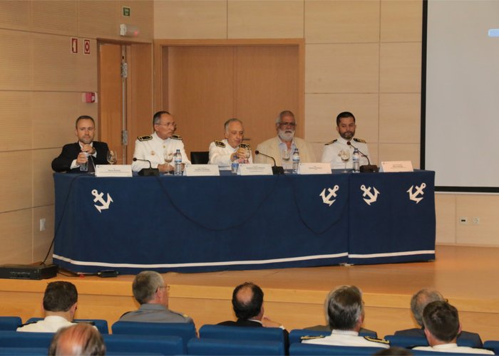
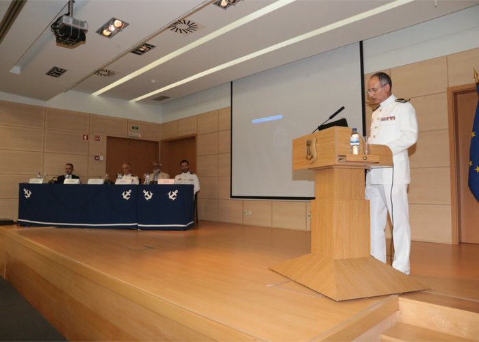
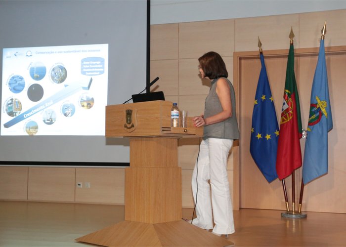
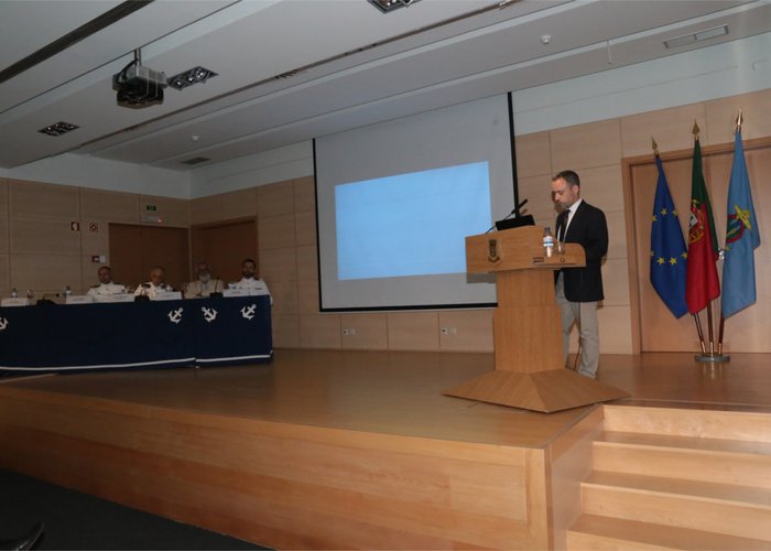
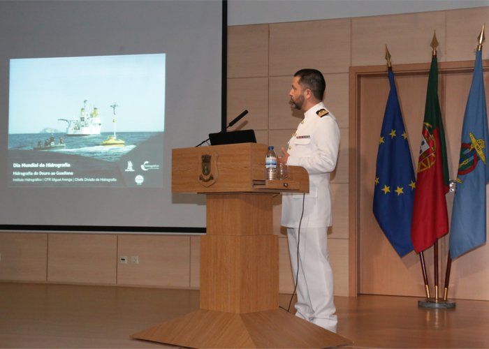
This date was indicated at the Hydrographic Institute, with an evocative session, chaired by the Admiral Chief of Staff of the Navy and National Maritime Authority, Admiral António Silva Ribeiro, who had the collaboration of the General Directorate of Natural Resources, Safety and Maritime Services (DGRM) and the Mission Structure for the Extension of the Continental Platform (EMEPC), where former IH Directors-General, general officers, leaders and representatives of public bodies, universities, research centers and cooperative partners were present, among other guests.
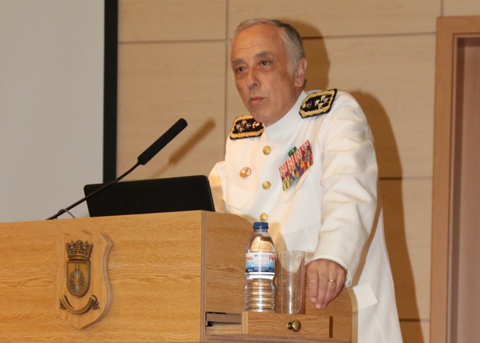
At this event, allusive communications were presented to this year’s theme “Maping our seas, oceans and waterways – more important than ever,” which aimed to highlight the fact that knowledge of seas, oceans and waterways is still very limited, as the Director-General of the IH, Rear Admiral Coelho Candido, only 10% of the depths of the oceans and about 50% of coastal waters around the world were measured directly.
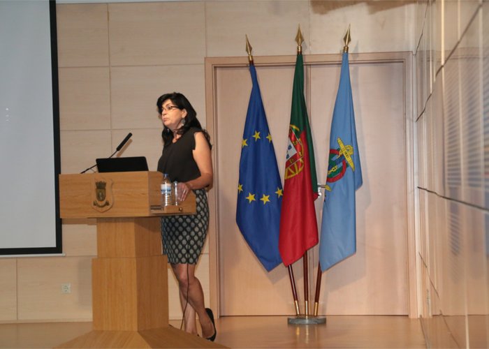
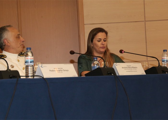
The event ended with the presentation of the book “Wild Islands – near the End of the World”, by journalist Cristina Costa e Silva, presented by Prof. Doctor Pedro Quartin Graça and with a final intervention by Admiral António Silva Ribeiro.
World Hydrography Day
World Hydrography Day
World Hydrography Day
World Hydrography Day
World Hydrography Day
World Hydrography Day
World Hydrography Day
World Hydrography Day
182 