

Study visit of the Course Military Cartographic Information Center of the Army Geospace Information Center
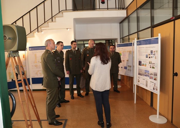
Under the Cartographic Information Course program, taught by the Army's Geospatial Information Center (CIGeoE), the four military graduates, accompanied by the course's trainer, Major of Infantry Nuno Vicente, visited the Hydrographic Institute on Thursday.
This visit aimed to enable graduates with the necessary knowledge in cartographic production and direct contact with the areas of activity of the Hydrography Division and the Geographic Information Systems Office.
Study visit of the Course Military Cartographic Information Center of the Army Geospace Information Center
105 
2017-03-09