

Topographic Survey at S. Torpes Beach
As part of monitoring the effects of the port structures of the port of Sines on São Torpes Beach, the 4th and last campaign of 2021 took place earlier this month.
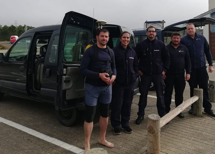
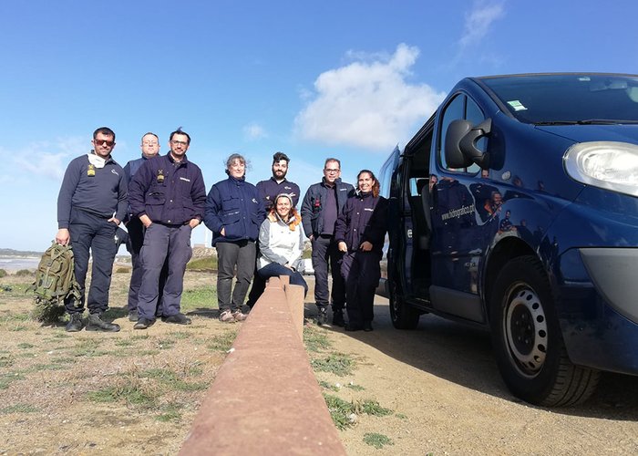
The work stems from the request of the Administration of the Ports of Sines and the Algarve (APS) S.A., as part of the multiannual monitoring of the effects of the port structures of the port of Sines on the evolution of the adjacent coastal zone, with emphasis on the area of S. Torpes. With an expected duration of 5 years, multidisciplinary work involves the Hydrographic Brigade and the divisions of Hydrography, Marine Geology and Oceanography.
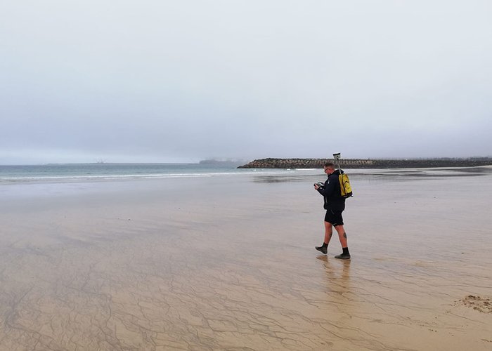
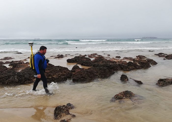
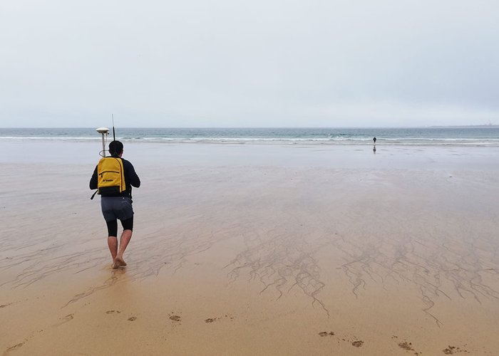
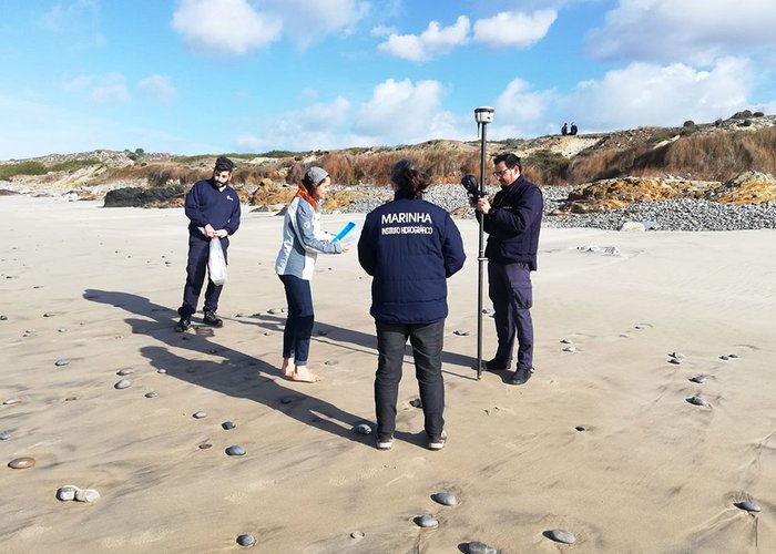
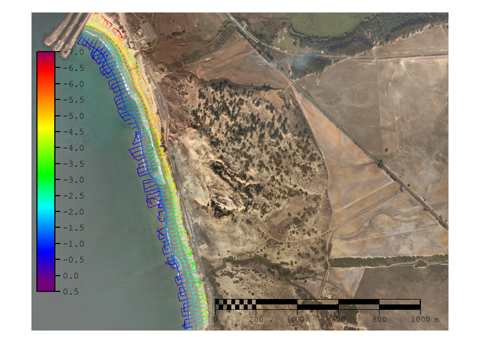
This campaign contemplated a topographic survey with the use of a ploughed man, equipped with GNSS (Global Navigation Satellite System) receiver, in order to characterize the morphology of the beach, with the participation of five military personnel. In addition, sediment samples were collected by Marine Geology with the support of the Hydrographic Brigade.
Topographic Survey at S. Torpes Beach – 4th Campaign 2021
Topographic Survey at S. Torpes Beach – 4th Campaign 2021
Topographic Survey at S. Torpes Beach – 4th Campaign 2021
Topographic Survey at S. Torpes Beach – 4th Campaign 2021
Topographic Survey at S. Torpes Beach – 4th Campaign 2021
Topographic Survey at S. Torpes Beach – 4th Campaign 2021
Topographic Survey at S. Torpes Beach – 4th Campaign 2021
130 
2021-12-29