

Top Hydrographic Survey S. Torpes – 1st Campaign 2022
The Hydrographic Brigade (BH) finished the first 2022 campaign of the top-hydrographic survey in S. Torpes, after a month of work strongly affected by the unfavorable weather conditions that were felt in March.
The Hydrographic Institute (IH), at the request of the Administration of the Ports of Sines and the Algarve S.A, has since 2019, been evaluating and monitoring quarterly the effects that the expansions of the port structures of the port of Sines have caused in the evolution of the adjacent coastal morphology, particularly in the area of the beach of São Torpes. Thus, between March 2 and April 5, the first step of this fourth consecutive monitoring year was taken.
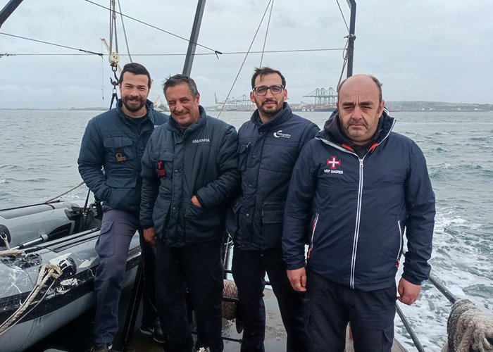
This port, which has been asserting itself as one of the main ports in southern Europe, being a gateway to world trade, has begun to strengthen its operational capacity through the expansion works of Terminal XXI in February last year (and its watering in February 2020). Therefore, this top-hydrographic survey is of particular importance, particularly for the assessment of the impact that this project has on local sedimentary and oceanographic dynamics, involving, for this purpose, a multidisciplinary team consisting of several military and civilian IH, in particular belonging to the Hydrographic Brigades (supported by the UAM garrison) Atlanta) and the Divisions of Marine Geology and Oceanography.
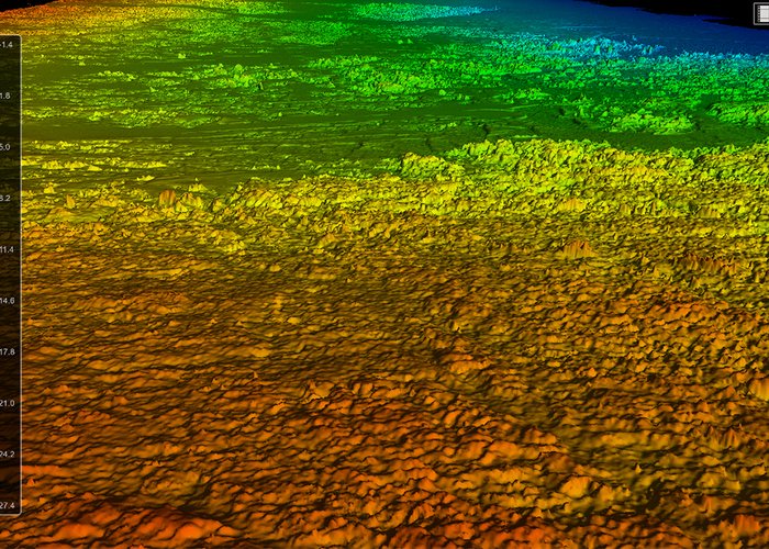
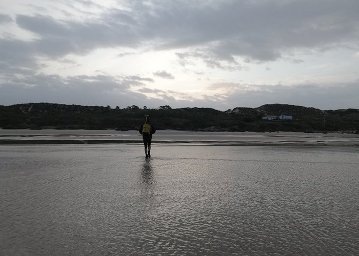
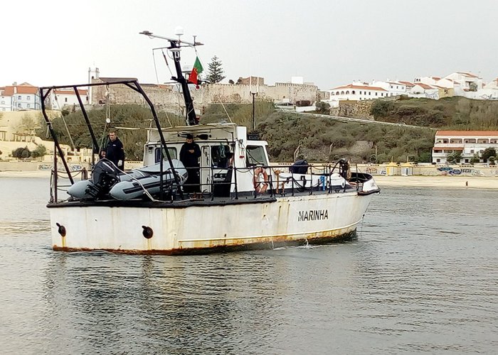
During the mission period, hydrographic surveys were carried out with multi-beam probe systems (installed on board the UAM Atlanta) and simple beam (installed on a Zebro III boat). In order to evenly cover the entire coastline, the topography of the beach was performed by the military equipped with GNSS receivers (Global Navigation Satellite System).
The task of the BH was successfully completed, despite the adverse meteo-oceanographic difficulties, another auspicious year for the knowledge of the sea and its dynamics in this pearl of the Vicentina Coast.
Top Hydrographic Survey S. Torpes – 1st Campaign 2022

Top Hydrographic Survey S. Torpes – 1st Campaign 2022
Top Hydrographic Survey S. Torpes – 1st Campaign 2022
Top Hydrographic Survey S. Torpes – 1st Campaign 2022
Top Hydrographic Survey S. Torpes – 1st Campaign 2022
87 
2022-04-08