

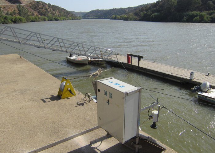
Top-Hydrographic Survey in the Guadiana River - 2017
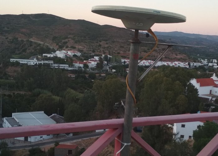
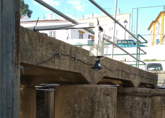
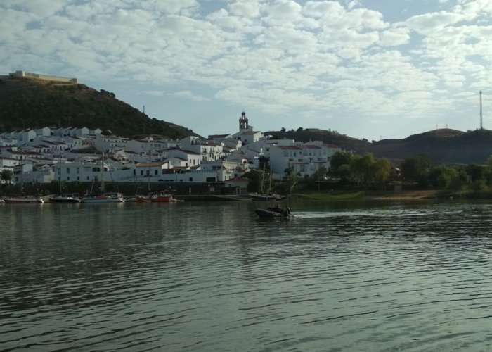
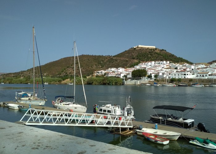
Under the project “Guadiana: Natural Heritage Navigable”, the Hydrographic Brigade began the top-hydrographic survey on the Guadiana river, between Alcoutim and Pomarão.
This project is based on the Portugal-Spain Operational Programme for Transboundary Cooperation, which is part of the Hydrographic Institute, the Directorate-General for Natural Resources, Security and Maritime Services (DGRM), Docapesca – Portos and Lotas, S.A. and the Public Agency of Puertos de Andalucía.
After the hydrographic survey, physical and chemical characteristics of sediments will be performed and nautical cartography of the Guadiana River will be produced.
Top-Hydrographic Survey in the Guadiana River - 2017
Top-Hydrographic Survey in the Guadiana River - 2017

Top-Hydrographic Survey in the Guadiana River - 2017
Top-Hydrographic Survey in the Guadiana River - 2017
Top-Hydrographic Survey in the Guadiana River - 2017
Top-Hydrographic Survey in the Guadiana River - 2017
Top-Hydrographic Survey in the Guadiana River - 2017
154 