

Top-hydrographic survey on the beach of São Torpes
The Hydrographic Brigade (BH) is in preparation to start the first 2020 campaign in Sines with an expected duration of 4 weeks.
This work stems from the request of the Administration of the Ports of Sines and the Algarve (APS), as part of the multiannual monitoring of the effects of the port structures of the port of Sines on the evolution of the adjacent coastal area, with emphasis on the area of São Torpes. This project has an expected duration of 5 years and involves multidisciplinary work of BH, and the divisions of Hydrography, Marine Geology and Oceanography.
For this campaign it is planned to carry out hydrographic surveys (LH) with high-resolution multi-beam system, simple beam probes (SFS) and beach topography, using UAM Atlanta, boat and landed man, respectively.
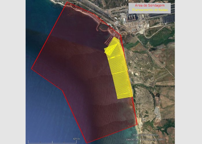
This campaign aims to characterise the entire surrounding area of the Paria de S. Torpes that ranges from the 20 meters of depths to the whole of the sand.
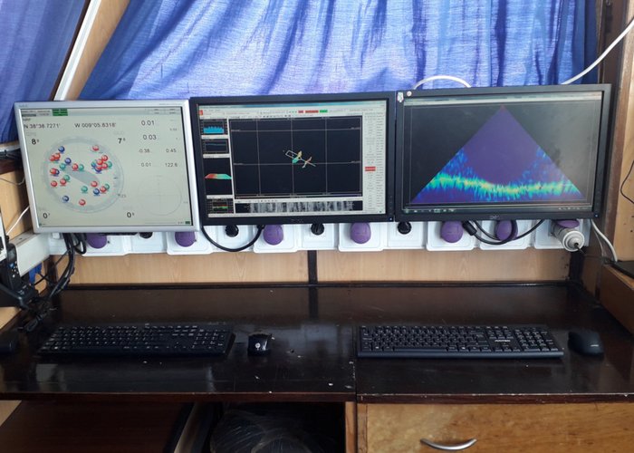
Preparations for an LH consist of mounting the multi-beam system aboard the UAM Atlanta (Image 1 and 2) and carrying out the respective tests, assembly and testing of the SPS installed on the boat, planning and training of the men affixed to the beach topography.
This previous preparation and training of the mission is related to three factors:
- What? The large length of the beach of S. Torpes (1700 m) whose spinning planning is 20 in 20 meters perpendicular to the beach, and which makes a total of 84 spins (image 3);
- What? The beach topography (low sea) and LH with the simple beam system (sea beach) must be performed on the same day in order to overlap the data;
- What? The tide cycle that only allows 2 and a half hours to perform each of the tasks.
As such, all personnel have to be well trained, equipment tested so that nothing fails on the day of lifting.
Top-hydrographic survey on the beach of São Torpes
Top-hydrographic survey on the beach of São Torpes
118 
2020-03-09