

Top-hydrographic survey in Guinea-Bissau
Under the “Open Sea” initiative, the Hydrographic Brigade (BH) is in Guinea-Bissau conducting a top-hydrographic survey (LTH) in the Port of Bissau. The hydrographic work will be carried out on board the boat “Cagarra”, which is on its way to Bissau, carried by the hydrographic ship NRP D. Carlos I, this vessel will also carry out several hydrographic surveys (LH) during the Open Sea mission.
While the BH team awaits the arrival of the ship, it prepares the arrival of the ship with several groundwork, such as:
- assembly of a tidal wave to determine the mean sea level in Bissau, and to determine the harmonic constants that will allow for more precise tide forecasts;
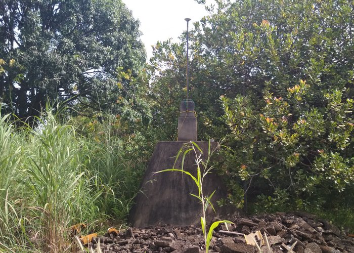
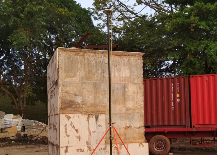
- Topographic survey of various port structures;
- Geometric leveling in Bissau;
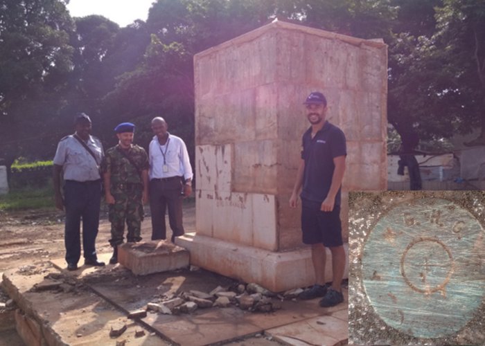
- Coordination of several geodesic landmarks and relevant structures to support cartography.
This work has the support of the various local entities, with the BH team including a Guinean Navy Officer, Lieutenant Captain Nando Mboto.
Finally, it is worth mentioning the extreme importance and impact that this work will have on the safety of navigation in Bissau. The last LTH occurred between 1963 and 1969, and in the meantime many port changes arose, and apparently high silting on the banks of the river Geba that will now be proven by collecting data for cartographic update.
Top-hydrographic survey in Guinea-Bissau
Top-hydrographic survey in Guinea-Bissau
Top-hydrographic survey in Guinea-Bissau

Top-hydrographic survey in Guinea-Bissau
Top-hydrographic survey in Guinea-Bissau
110 
2017-10-20