

Top Hydrographic Survey of St. Torpes - 2022
Did you know that buildings along the coast line can sometimes cause changes in the beaches increased erosion or, on the contrary, lead to natural sand deposit and increased sand?
These phenomena are quite recurrent and if they are not properly guarded or anticipated may lead to serious consequences for populations living in coastal areas as well as for the regional economy and living beings present in the ecosystem.
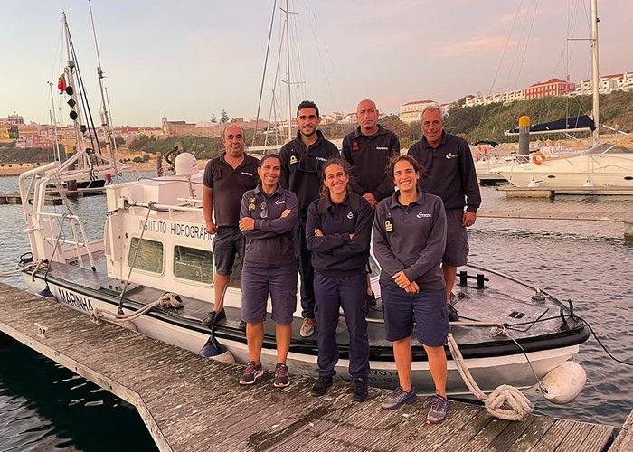
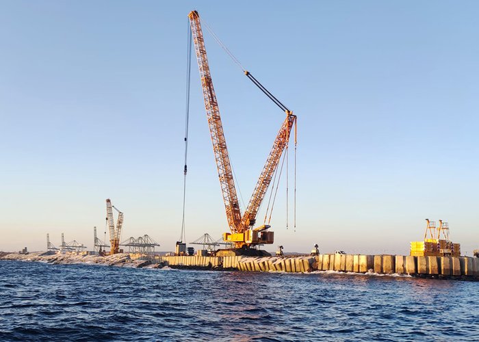
For this reason, a team of 7 members of the Hydrographic Brigade, in collaboration with the administration of the ports of Sines and the Algarve, carried out a series of work between September 23 and October 17, in the context of monitoring the impact of the expansion works of the Molhe East port of Sines.
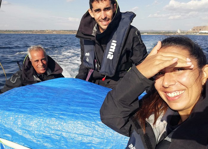
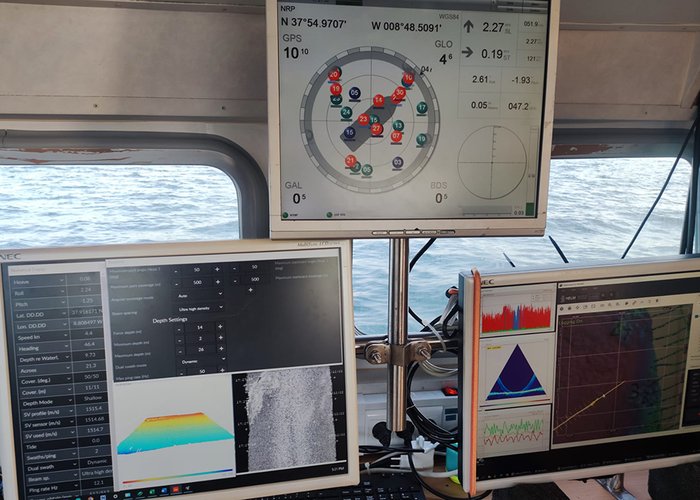
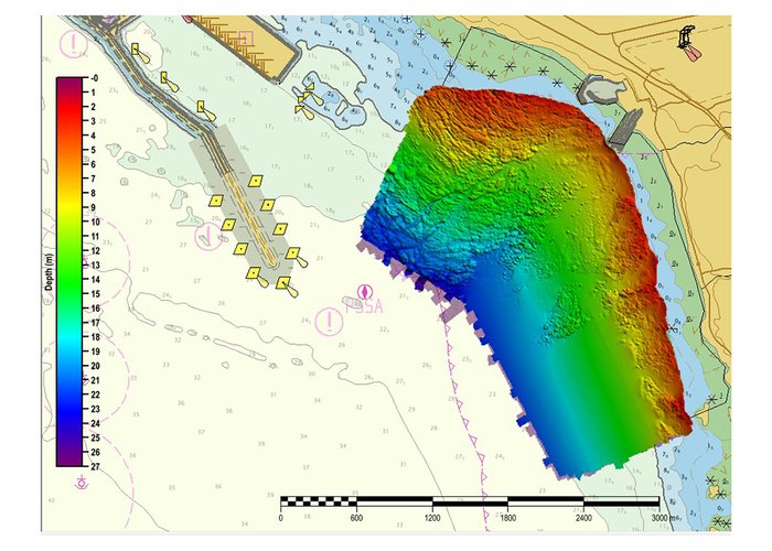
Among the works carried out is the hydrographic survey with multi-beam system, hydrographic survey with simple beam system and topographic survey of the beach of São Torpes. The use of advanced technologies such as state-of-the-art probe systems, topographic drones, and high-precision positioning systems have allowed us to identify beach changes with high accuracy and reliability.
This type of work enables works of high interest to the national and European economy, as is the case with the extension of the east jetty and terminal XXI of the port of Sines, to be carried out with due monitoring of possible impacts on populations, regional economy and nature conservation.
We leave here some images of the ongoing work and the data collected by our Hydrographic Brigade in this mythical area of the Vicentina coast.
Top Hydrographic Survey of St. Torpes - 2022
Top Hydrographic Survey of St. Torpes - 2022

Top Hydrographic Survey of St. Torpes - 2022
Top Hydrographic Survey of St. Torpes - 2022
Top Hydrographic Survey of St. Torpes - 2022
Top Hydrographic Survey of St. Torpes - 2022
96 
2022-10-18