

Hydrographic Survey in the Scope of the iMAR Project
What kind of fish, coral and sponge communities inhabit the Portuguese sea?
What environmental factors determine the spatial distribution of benthic biodiversity (which lives at the bottom of the sea) along our EEZ?
In view of the damage potentially caused by abusive fishing or marine pollution, to what extent is the fauna in our sea affected?
To answer these questions, the iMAR22 expedition took place between July and August, which aims to map and study the benthic communities existing in unexplored underwater hills and crests along the Middle Atlantic Dorsal in the Azores region.
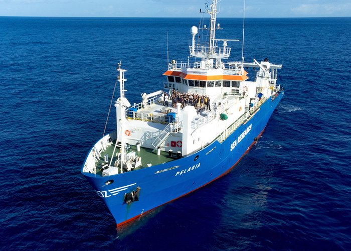
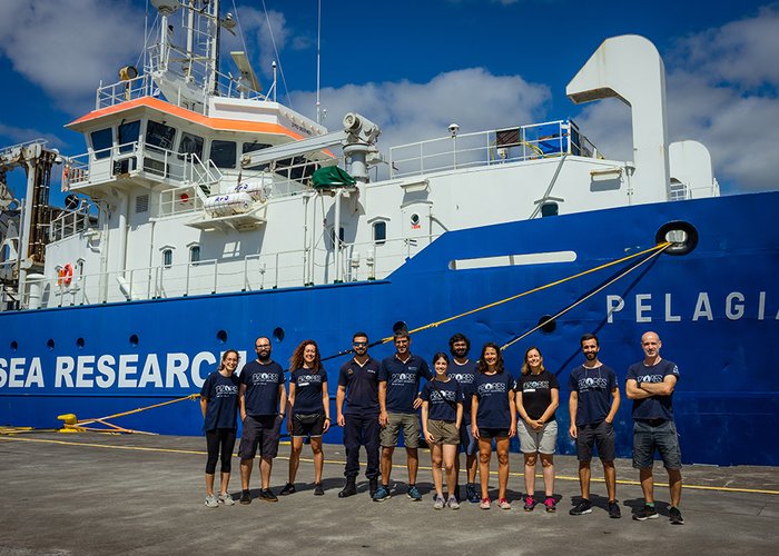
With these goals in view, over eight days, a team of researchers from the University of the Azores and second lieutenant José Murta Cunha of the Hydrographic Institute embarked on the Pelagia Research Ship, the Royal Netherlands Institute for Sea Research.
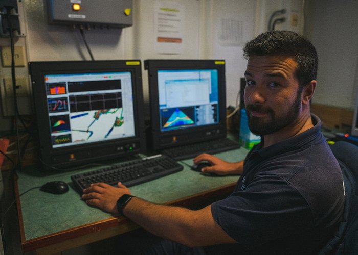
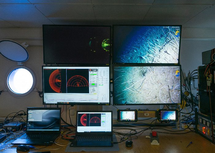
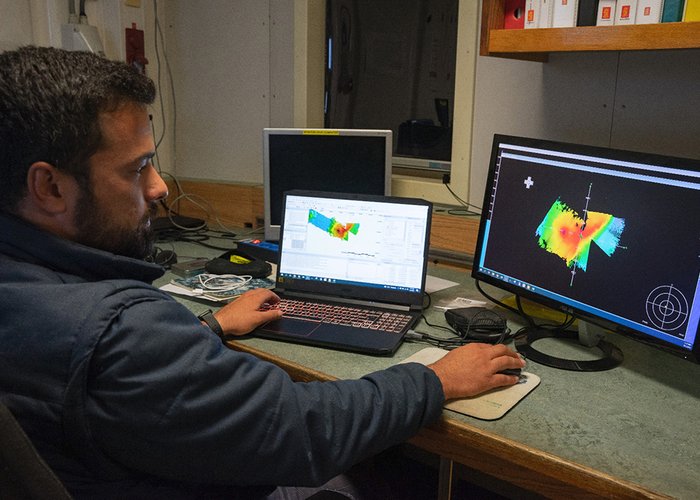
During this period, high resolution video images and bathimetric information were acquired, water harvesting and analysis of their physicochemical parameters, as well as sediment and fauna harvests from the seabed. This scientific information will serve to develop policies that promote the preservation of natural heritage, ensuring the sustainable use of the deep sea, minimizing the negative impacts on such vulnerable ecosystems.
This expedition will also contribute to the SEAMAP 2030 (Portuguese Sea Mapping) programme of the Hydrographic Institute and to the international initiative Seabed 2030 and Decade of the United Nations of Ocean Science for Sustainable Development (2021-2030).
The knowledge of the ocean is the guiding line that motivates us at the Instituto Hydrográfico da Marinha Portuguesa and cooperation is the most effective way to understand the complexities of our marine territory.
(You can follow the work of the research team of the University of the Azores in https://twitter. with/bluesdeepsea.)
Hydrographic Survey in the Scope of the iMAR Project
Hydrographic Survey in the Scope of the iMAR Project
Hydrographic Survey in the Scope of the iMAR Project
Hydrographic Survey in the Scope of the iMAR Project
Hydrographic Survey in the Scope of the iMAR Project
112 
2022-09-06