

Available Navigation Electronic Cartography - River Series of the Douro Navigable Route
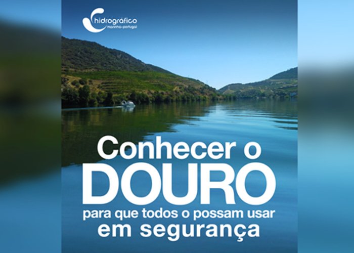
The Douro Navigable Way (VND), about 210 km long, is one of the most important communication, transport and development routes in Portugal.
Under the management of the Administration of Ports Douro, Leixões and Viana do Castelo, SA (APPL), has been promoted and encouraged the navigation of this Via (http://douro.apdl.pt/f?p=100:1:8716473046817), with the Hydrographic Institute (HI) taking on, through an institutional cooperation agreement, a key role in the acquisition of batimetric information and environmental data that allowed the development of studies, the redefinition of the navigation channel, the preparation of sea marking projects of Via and the development of river nautical cartography, essential for the project “Douro’s Inland Waterway 2020” and, consequently, for the strengthening of the conditions of safety and navigation management.
The river nautical cartography in paper format and already published is made up of 6 cards in a total of 57 sheets, which can be purchased from the Shop of the Navigante (http://loja.hydrographic. pt/ln/).
Inland navigation electronic cartography consists of 54 cells and can be downloaded free of charge on http://www.hydrographic. pt/vn.douro. In this way, it is possible to know and use the Douro safely. It is recalled the need to verify the existence of warnings to the navigators that affect the letters made available, as well as the verification by the navigators of the latest version of the letters.
Available Navigation Electronic Cartography - River Series of the Douro Navigable Route
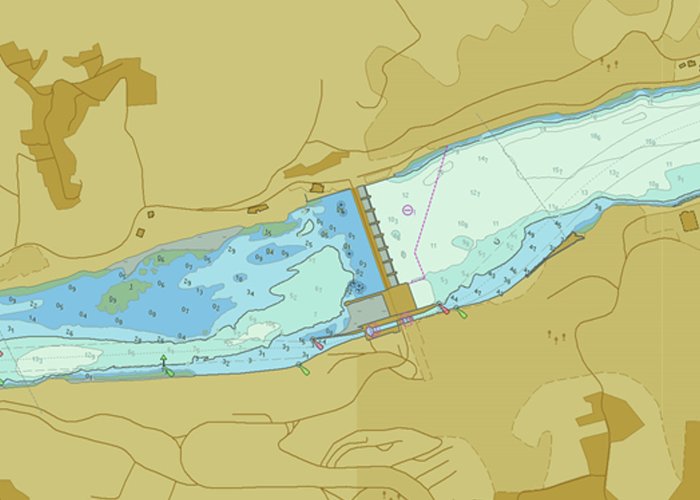
Available Navigation Electronic Cartography - River Series of the Douro Navigable Route
120 
2019-11-26