

Start of the Water Survey in Cape Verde
On March 8, 2020, the Hydrographic Brigade started a hydrographic survey in the Cape Verde Archipelago – Santiago Island.
This survey is carried out under the UNTIeD Project – Unlocking the megaTsunamI Deadlock: using the near-source impacts to constrain tsunami generation by volcanic flank collapses, a project that proposes a multidisciplinary approach to the study of the impacts of one of the largest tsunamis of the geological record: the tsunami produced by the collapse of the island of Fire, about 73,000 years ago.
The main objective of the proposal is to use the effects of this tsunami on the island of Santiago, only 55 km from the source, to calibrate numerical models for the generation of collapse tsunamis and their spread and flood of nearby regions. The UNTIeD project results from a partnership between several institutions, including the Hydrographic Institute, with the main objective of obtaining updated hydrographic information from the continental geological platform of the island of Santiago, from the coast line until there is overlap with the data acquired by RV Meteor and NRP Almirante Gago Coutinho.
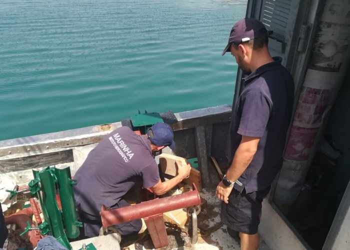
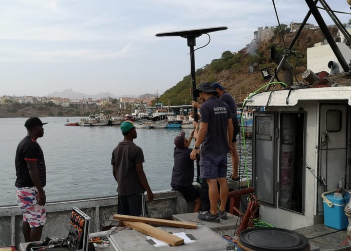
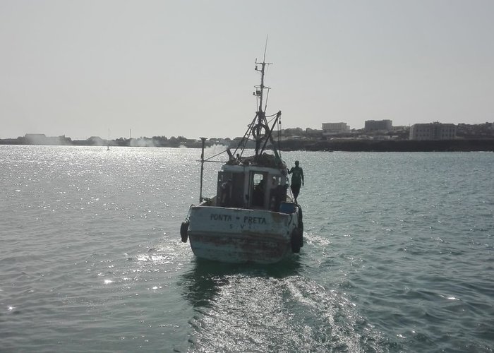
The survey will be carried out on board the “Black Point” fishing vessel which is being equipped with a multi-beam probe system of the Hydrographic Institute, whose ability to acquire high-quality data enables high resolution batimetric models to be generated.
In this mission they participate: a hydrographer, a hydrography technician, two boat owners, an equipment maintenance technician and the garrison of the “Black Point”.
Start of the Water Survey in Cape Verde
Start of the Water Survey in Cape Verde
Start of the Water Survey in Cape Verde
Start of the Water Survey in Cape Verde
122 
2020-03-08