

Mission of the Hydrographic Brigade in the Azores Archipelago: western tip of the island of São Miguel - 2017
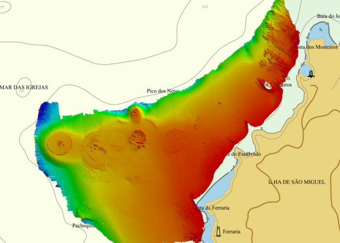
In the context of the hydrographic surveys carried out by the Hydrographic Brigade in the autonomous region of the Azores, which took place since 25 June 2017, the use of modern multi-beam probes has enabled the acquisition of images of the marine bottom with rare beauty and which are associated with the very particular nature of the islands. In the concrete case of the survey on the western tip of the island of São Miguel, in an area located between Ponta da Ferraria and the Monasteries, it was possible to prolong the great morphological roughness observed on the slopes of Ponta dos Monasterias to the adjacent island platform, as well as to observe the rocky crests surrounding the island of the Monasteries. Further south, between Ponto do Escalvado and Ponta da Ferraria, the insular platform is more extensive, presenting isolated rocky outcrops of circular geometry, typically associated with semi-dismantled volcanic appliances.
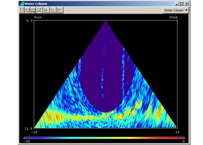
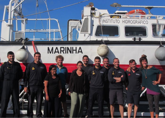
This mission also served to strengthen collaboration with the Biology Department of the University of the Azores, which has embarked on a team of 6 researchers/students, from various nationalities, and who were able to collect data on marine biodiversity, particularly in the “Lourenços” bank and the “Sabrina” bank. In addition to the acoustic data from the bottom and the water column, where manifestations of hydrothermalism existing in the monasteries can be identified, samples from the sedimentary cover were collected for remote classification of the type of background.
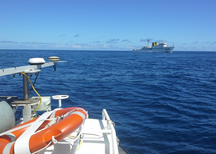
The work is underway on board the “Gall” survey vessel, designed from the NRP Don Carlos I and it is expected that other unique underwater forms will emerge.
Mission of the Hydrographic Brigade in the Azores Archipelago: western tip of the island of São Miguel - 2017
Mission of the Hydrographic Brigade in the Azores Archipelago: western tip of the island of São Miguel - 2017
Mission of the Hydrographic Brigade in the Azores Archipelago: western tip of the island of São Miguel - 2017
Mission of the Hydrographic Brigade in the Azores Archipelago: western tip of the island of São Miguel - 2017
Mission of the Hydrographic Brigade in the Azores Archipelago: western tip of the island of São Miguel - 2017
118 
2017-08-04