

Recognition of navigation aids - Via Navigá do Douro
Encouraged in the “Douro’s Inland Waterway 2020” project, the Hydrographic Institute (IH) is developing river nautical cartography of the Douro Navigable Way (VND).
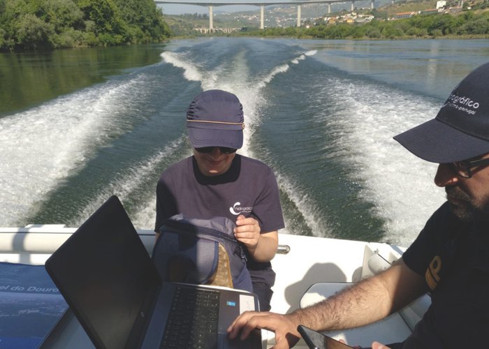
In this context, in the week from 1 to 5 July, a final recognition was made of the navigational aids implemented, their characteristics and positions, in order to validate the information already contained in cartographic products.
The mission comprised navigation along the entire navigable section of the VND, between Foz do Rio Douro and Barca D’Alva, with a mixed team of elements of the IH and the Administration of the Ports of the Douro and Leixões (APPL).
On Wednesday 3 July, a presentation of the cartographic products prepared by the IH (paper letter and electronic navigation letter) was also made at the premises of the APDL in the Peso da Régua. Several shipowners and masters of the vessels using the VND attended the presentation, with a general appreciation for the work carried out.

Recognition of navigation aids - Via Navigá do Douro
Recognition of navigation aids - Via Navigá do Douro
121 
2019-07-01