

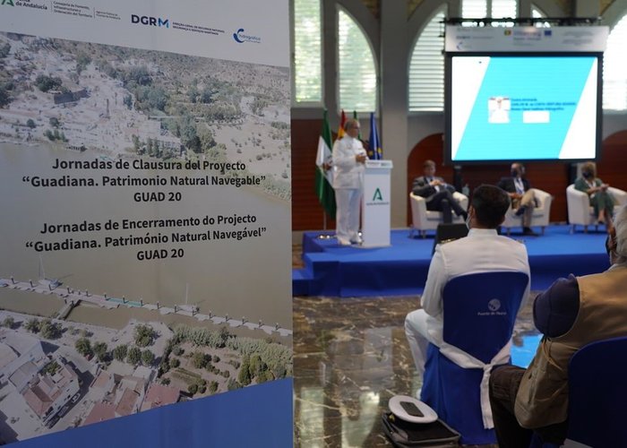
Closing days of the “GUAD20 Project – Guadiana, Navigable Natural Heritage” - 2021
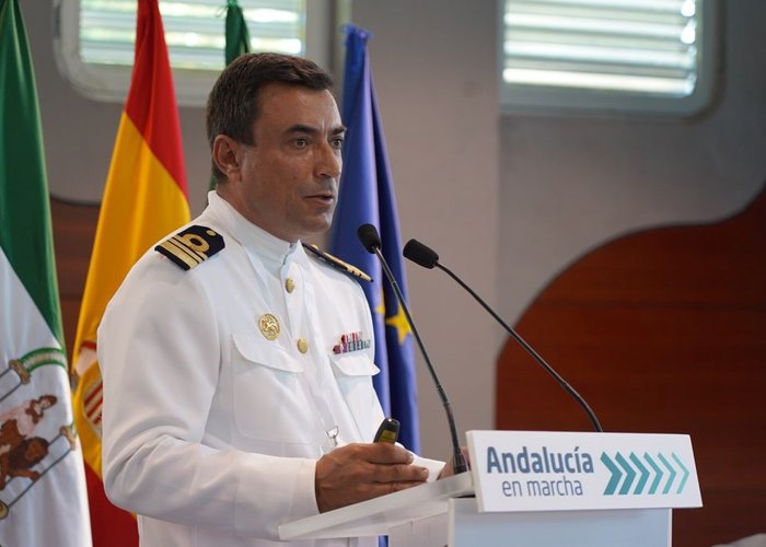
The closing days of the “GUAD20 – Guadiana Project, Navigable Natural Heritage”, of the INTERREG V-A 2014-2020 Spain-Portugal Programme, took place on July 7, 2021, at the premises of the Port of Huelva, in which the three entities that developed the project were present, represented by their major dignitaries, the Director-General of the Hydrographic Institute, Rear Admiral Carlos Ventura Soares, the Director-General of the Public Agency of Puertos da Andalucia (APPA), Rafael Merino López and the Director-General of the Directorate-General for Natural Resources, Security and Maritime Services (DGRM), José Carlos Simão, who participated in the opening panel as well as the president of the Port of Huelva, Pilar Miranda who kindly provided the facilities for the event.
The GUAD20 – Guadiana Project, Navigable Natural Heritage”, took place between 2017 and 2021 and aimed to rehabilitate the safe navigability of the Guadiana River in the international section between Vila Real de Sto António and Pomarão.
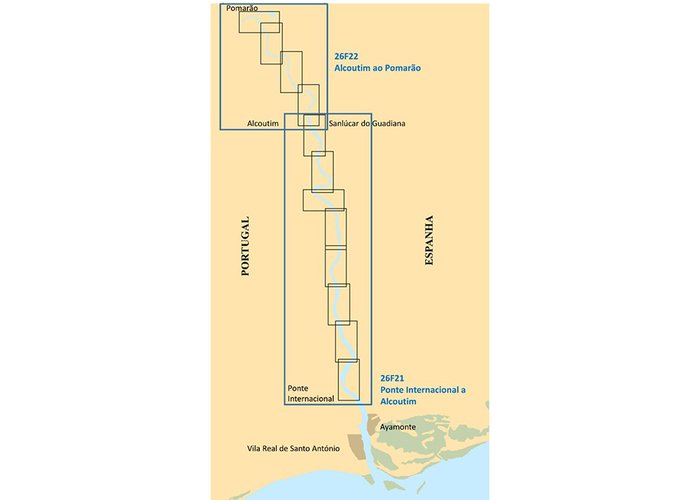
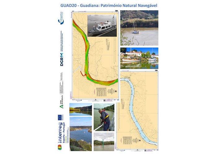
The event was attended by several regional and local entities, such as the municipal councils and the captaincies of both banks and followed with a set of technical presentations, in which each of the partners exposed the work developed in detail. The presentation by Captain Delgado Vicente described the contributions of the IH, highlighting the top-hydrographic surveys, the physicochemical characterization of sediments and the production of the first nautical charts, the river series of the Guadiana waterway and the corresponding electronic navigational charts Inland: CN 26F21 (from the Guadiana International Bridge to Alcoutim); CN 26F22 (from Alcoutim to Pomaran).
The hydrographic surveys carried out with the multi-beam probe system ensured complete bathymetric coverage in the overall international section, and all port infrastructures existing on both shores (in Portugal and Spain) including the new structures, built by APPA, were topographed within the project. The physicochemical characterization of sediments was restricted to the area between Alcoutim and Pomarão, supporting, as required by the legal terms, the dredging operations that were necessary in this area to regulate the fund, work that was carried out by DGRM. The IH also provided technical support to DGRM in redefinition of the route of navigation through the river marking project (Alcoutim a Pomarão).
In cartography, the folio of the river series for the Guadiana river, established and produced by the IH (entity responsible for the production of national nautical cartography), consists of two nautical letters on paper and corresponding electronic navigational letters Inland: CN 26F21 (from the International Bridge of Guadiana to Alcoutim) composed of 8 leaves; CN 26F22 (from Alcoutim to Pomarão) composed of 4 leaves.
Closing days of the “GUAD20 Project – Guadiana, Navigable Natural Heritage” - 2021
Closing days of the “GUAD20 Project – Guadiana, Navigable Natural Heritage” - 2021
Closing days of the “GUAD20 Project – Guadiana, Navigable Natural Heritage” - 2021
Closing days of the “GUAD20 Project – Guadiana, Navigable Natural Heritage” - 2021
Closing days of the “GUAD20 Project – Guadiana, Navigable Natural Heritage” - 2021
93 
2021-07-13