

Interactive Portal SEAMAP 3D
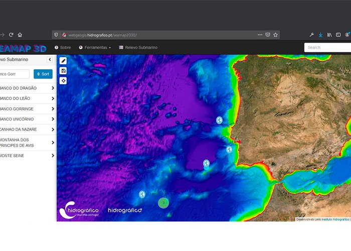
The Hydrographic Institute has just launched the SEAMAP 3D interactive portal for three-dimensional visualization of the main points of interest of the Portuguese Sea.
This portal is a product created under the Portuguese Sea Mapping program of the Hydrographic Institute, whose objective is to characterize the nature of the seabed, from the perspective of national hydrographic service and a multidisciplinary approach.
Based on the hydrographic information that constitutes the baptometric database, the main points of interest of underwater morphology are mapped in the form of 3D models in the maritime zones under national sovereignty.
Three-dimensional visualization of the main underwater cannons, hydrothermal sources, banks, underwater hills, escarpments, plains and other underwater structures of the Portuguese Sea is possible.
Accept our invitation and visit some of the underwater treasures we created for you:http://webgeogis.hidrografico.pt/seamap2030/
Interactive Portal SEAMAP 3D
114 
2020-11-29