

The Hydrographic Institute implements the OGC API standard
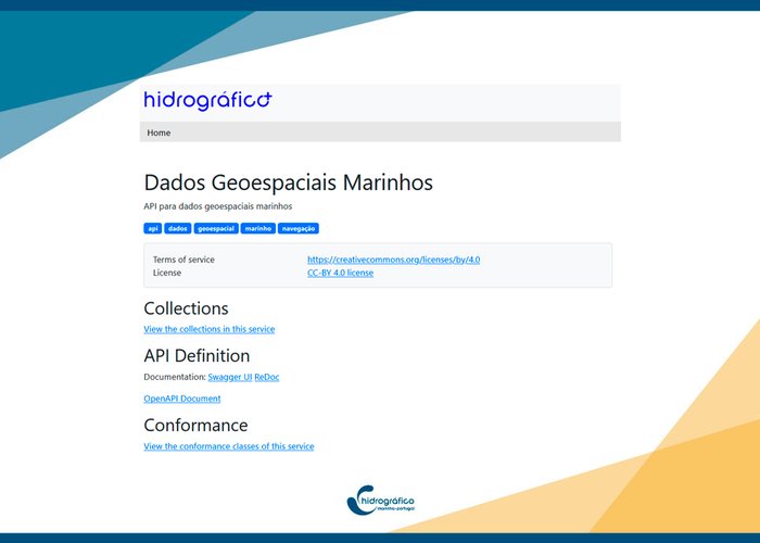
The Hydrographic Institute publishes the first layers of geospatial information in the new standard of geospatial services of Open Geospatial Consortium - OGC API Features.
The OGC API represent a new paradigm in the provision of geospatial information, implement best practices for data availability on the web, facilitate data integration and result in an improvement in the quality of services in consultation and access to them. In the OGC API domain the OGC API Features are the alternative to known Web Feature Services (WFS).
The information can be viewed via a web interface or an application programming interface (API).
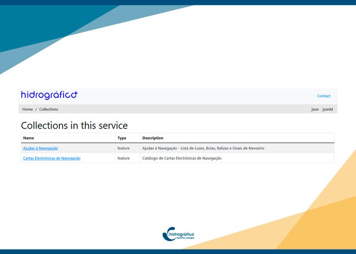
Two data collections are currently available:
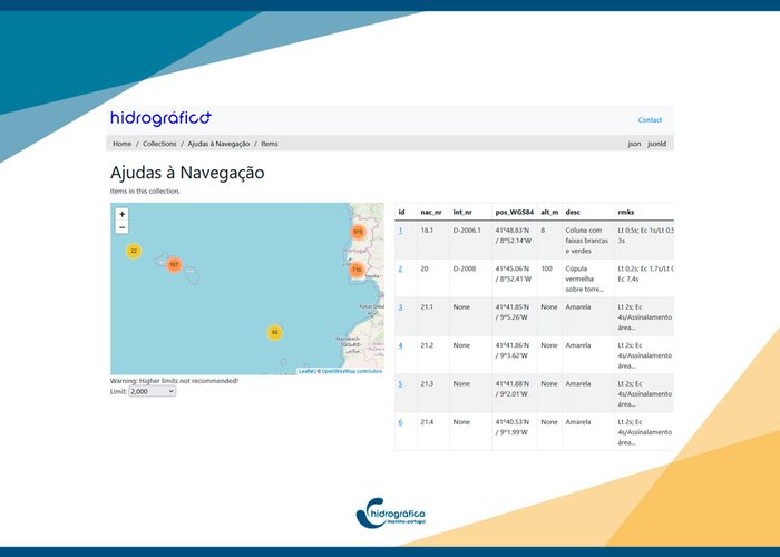
- Navigation Aids
- Navigation Electronic Cards Catalogue
This development demonstrates the commitment of the Hydrographic Institute to the availability of accessible marine geospatial information, using the latest and interoperable formats
The Hydrographic Institute implements the OGC API standard
The Hydrographic Institute implements the OGC API standard
The Hydrographic Institute implements the OGC API standard
382 