

New IH coastal wave and current forecasting model
Adequate description of maritime unrest on the coast, particularly in the break zone, is of particular interest to those who, for professional or leisure reasons, use the sea in these coastal regions.
Under the “What is your wave? ” the Hydrographic Institute is developing an operational model for forecasting waves and currents near the coast. Based on the high-resolution bathymetry originated at the Institute and including the tide, this model, known as SMARTWAVE, will describe the state of the sea in the coastal strip and in areas of public interest, particularly in the approach to ports and beaches.
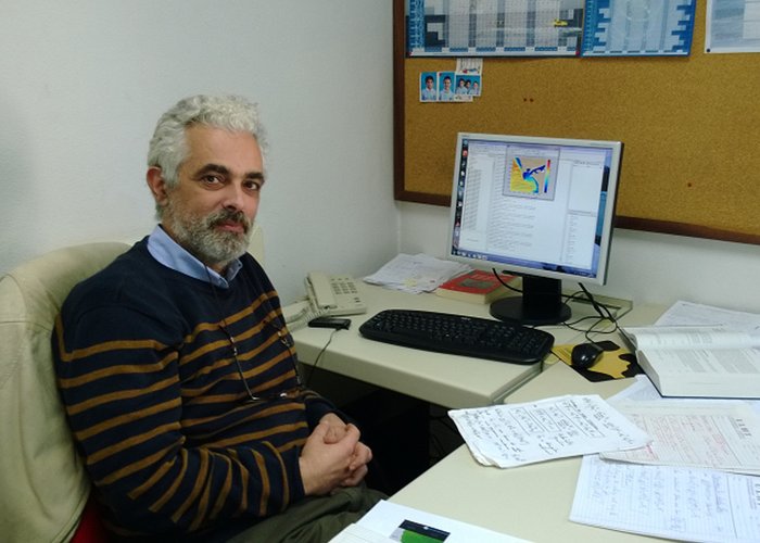
The results of the model for the approach to the port of Viana do Castelo and Póvoa do Varzim are being analyzed and its visualization is expected in the short term on the IH page. The development of the model has been the responsibility of Prof. Dr. José Paulo Pinto, Oceanography Division.
New IH coastal wave and current forecasting model
211 