

New EMODnet Digital Land Model - European Marine Observation and Data Network - 2018
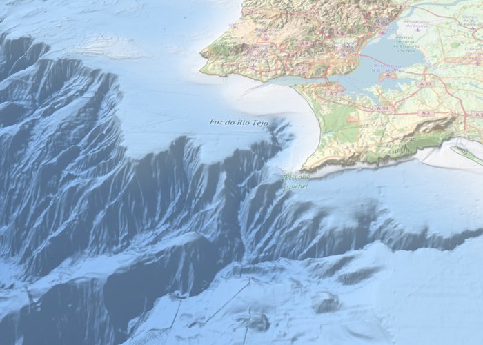
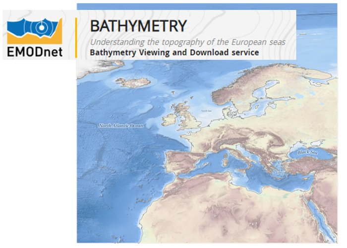
Batimetry is the information that describes the topography of the seabed. It is an essential component in understanding the dynamics of the marine environment.
Through the European Marine Observation and Data Network (EMODnet), batimetric data has been gathered from all European sea basins to produce, publish and make available a harmonised Digital Land Model (MDT). The Hydrographic Institute has been involved in this European project since 2010. The last update of MDT EMODnet was made available on the 24th of this month, whose access can be made at: http://www.emodnet-bathymetry. me/
This new version has an increase in model resolution, powerful three-dimensional visualization features of the marine background, expansion of coverage to the polar zone, and also includes innovative sources of batimetric data (satellite derived batimetry).
In order to improve the quality and accuracy of MDT in European ocean waters and coastal zones, EMODnet invites potential high-resolution batimetric data providers to help generate a product of excellence. You can do this via the EMODnet Data Inception portal: https://www.emodnet-ingestion. me/
New EMODnet Digital Land Model - European Marine Observation and Data Network - 2018
New EMODnet Digital Land Model - European Marine Observation and Data Network - 2018
129 
2018-09-24