

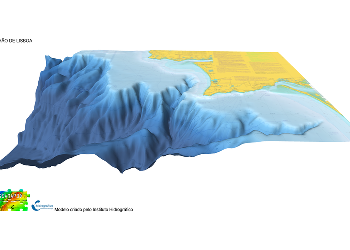
3D model of the Cannon of Lisbon
The Hydrographic Institute launches a 3D interactive Lisbon Cannon model on the SEAMAP 3D portal. The model now presented will allow the citizen to know this important geological structure hidden from the looks at the entrance of the port of Lisbon.
The Lisbon Cannon model is a product created under the Portuguese Sea Mapping program of the Hydrographic Institute based on hydrographic information that constitutes the batimetric database of maritime zones under national sovereignty.
We invite you to discover this structure of the Portuguese sea and visit other underwater treasures that we have created for you:http://webgeogis.hidrografico.pt/seamap2030/
Direct access to the Cannon and Estuary model:
3D model of the Cannon of Lisbon
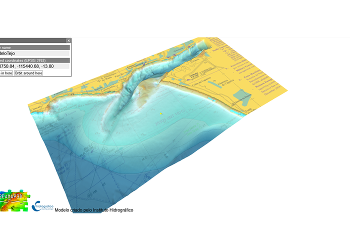
3D model of the Cannon of Lisbon
145 
2021-06-22