

Marigraphs at Height
The Hydrographic Institute (HI), through the Hydrographic Brigade (BH), often performs geometric levelings in order to ensure the quality of the data collected by the tidegraphs belonging to the IH Maregraphic Network.
This type of work has as its starting points the leveling marks of the High Precision Geometric Leveling Network (RNGAP) of the Directorate General of the Territory (DGT), whose altitudes are known and maintained with high accuracy. These altitudes are then transported to leveling marks embedded next to the tidegraphs by the IH, for this purpose using high precision equipment such as the digital level.
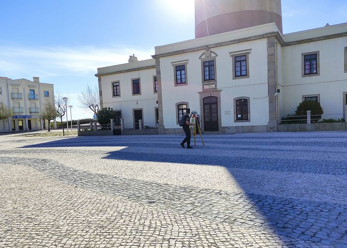
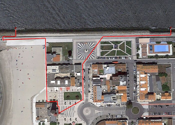
On March 17th and 18th, BH was in the bar of Aveiro to perform this work in the two tidegraphs installed in the central jetty. The team of three military personnel (one hydrographer and two technicians, one of whom in training) departed from the mark of the DGT embedded in the entrance of the Aveiro Lighthouse (NP174), having completed the leveling of the respective tidegraphs at the point where these equipment performs their measurements.
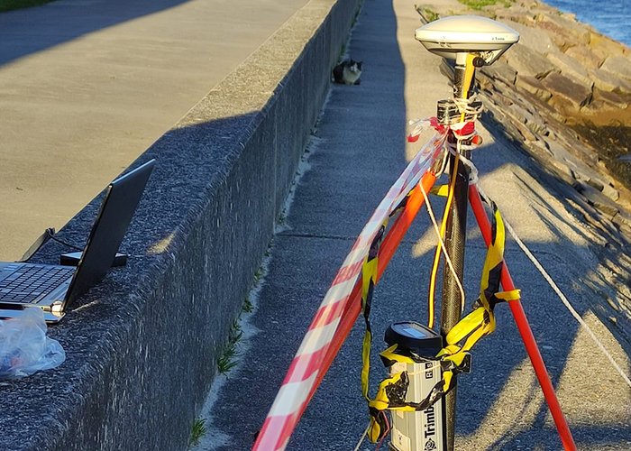
At the same time, using Global Navigation Satellite System (GNSS) observations and using the information provided by the National Permanent Stations Network (RENEP), the positions of the levelling marks that serve as the basis of the observations of the tidegraphs were observed.

High-Standard
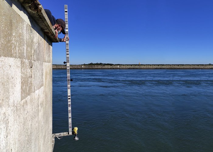
Measurement at the antenna support of the tidegraph
High-Standard
High-Standard
High-Standard
122 