

Hydrographic Institute with NRP D. Carlos I in Portuguese Sea Mapping
The commitment of the NRP “D. Carlos I”, between June 20th and September 10th, in the Autonomous Region of the Azores, will allow the Hydrographic Institute (HI) to continue the ambitious Portuguese Sea Mapping project, which began this year, which includes the performance of baptismal and geophysical surveys in the National Exclusive Economic Zone. This is a challenge included, where it promotes and encourages the opportunity for collaboration and participation of Portuguese entities, who carry out activities in favor of the sciences of the sea.
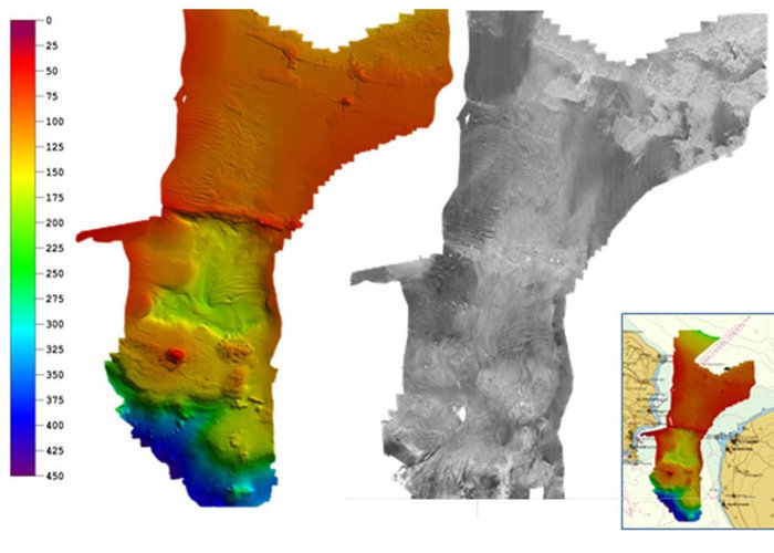
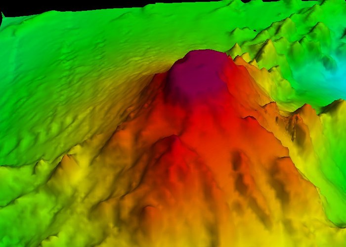
During the stay in the Azores Archipelago, the hydro-oceanographic ship “D. Carlos I” and the soldiers of the onboard Hydrographic Brigade (IH team that carries out the hydrography work, especially in river, port and coastal areas) will carry out oceanic hydrographic surveys (in an area with about 90,000 km2, off the central and eastern groups) and ports (in the ports of Ponta Delgada, Vila Franca do Campo and Praia da Vitória), with multi-feix probe systems, which allow the total coverage of the marine fund. There is also the opportunity to complete the baptismal survey, which began in 2016, in the Ants Ilhéus.
There is also the opportunity to collaborate with the Center for Research in Biodiversity and Genetic Resources of the University of the Azores, through the realization of a work focused on the area off Monasteries, on the Island of S. Miguel.
Hydrographic Institute with NRP D. Carlos I in Portuguese Sea Mapping

Hydrographic Institute with NRP D. Carlos I in Portuguese Sea Mapping
Hydrographic Institute with NRP D. Carlos I in Portuguese Sea Mapping
113 
2017-06-27