

Hydrographic Institute launches application of coastal cartography to support activity planning
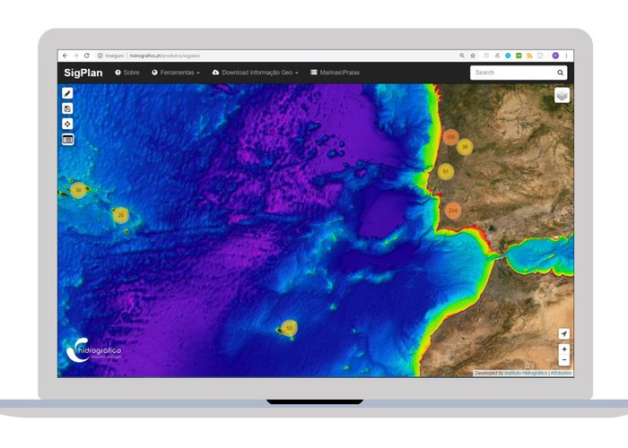
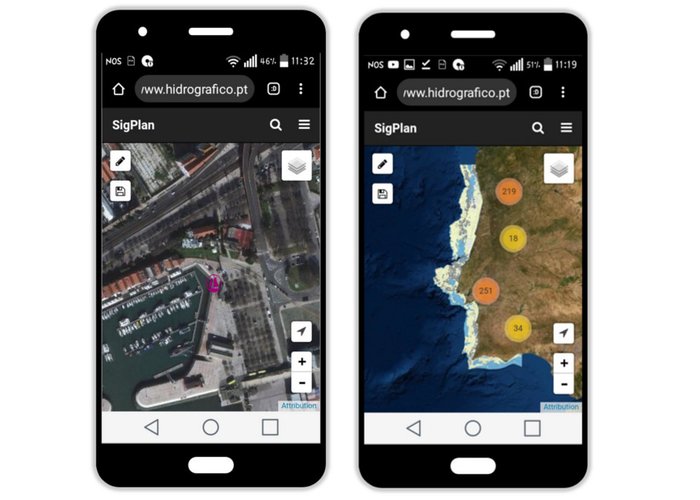
The Hydrographic Institute launched SIGPLAN, a WebSIG application developed to provide users of Portuguese maritime space with the web view of mapping of the coastal zone of mainland Portugal.
This tool supports the planning of activities in coastal areas through the design of points, lines and polygons andWeb Map Services (WMS) Cartographic information accessible in applications Desktop SIG.
WebSIG is accessible at: www.hydrographic.pt/products/sigplan
Hydrographic Institute launches application of coastal cartography to support activity planning

Hydrographic Institute launches application of coastal cartography to support activity planning

Hydrographic Institute launches application of coastal cartography to support activity planning
Hydrographic Institute launches application of coastal cartography to support activity planning
110 
2019-11-11