

Hydrographic survey on the Guadiana River - 2020
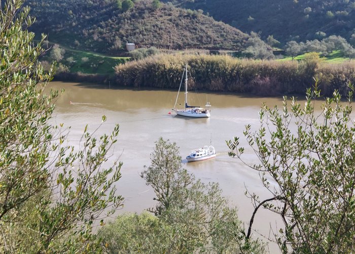
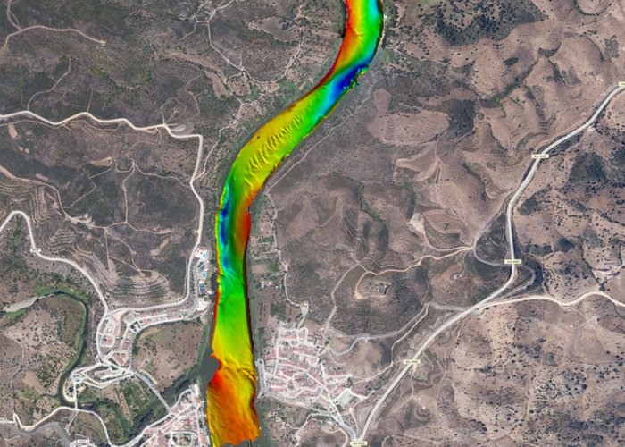
The Hydrographic Brigade initiated a hydrographic survey on the Guadiana River, between Alcoutim and Pomarão, on January 14, 2020, with the aim of obtaining updated hydrographic information on the Guadiana Navigable Way.
This work is part of the “Guadiana: Natural Heritage Navigable” project and is part of the Spain-Portugal Interreg V-A 2014-2020 Operational Programme for Transboundary Cooperation, which includes the following partners: Hydrographic Institute, Directorate-General for Natural Resources, Safety and Maritime Services and the Public Agency of Puertos de Andalucia.
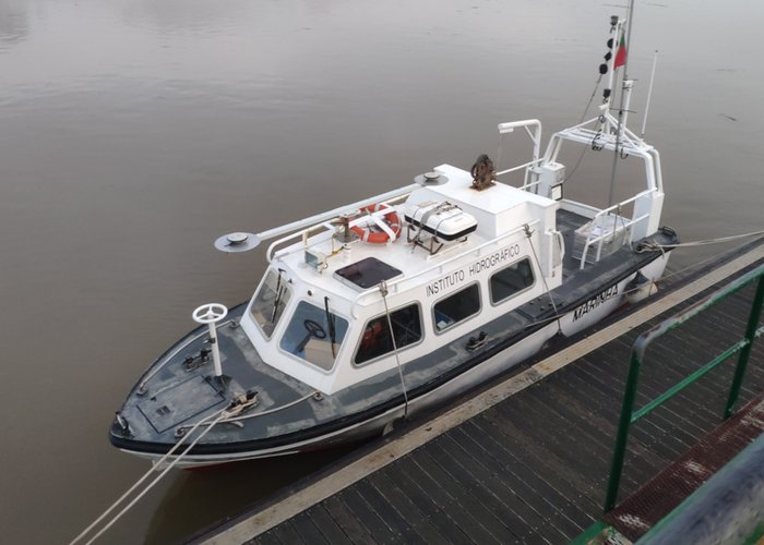
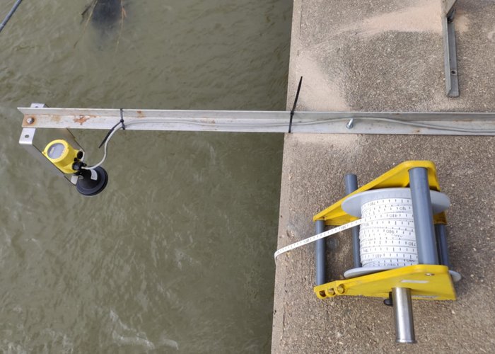
The survey is being carried out on board the “Gaivot” vessel of the Hydrographic Institute, which is equipped with a sophisticated multi-beam probe system, whose ability to acquire high quality data allows to generate high resolution batimetric models, enabling a detailed characterization of the fund.
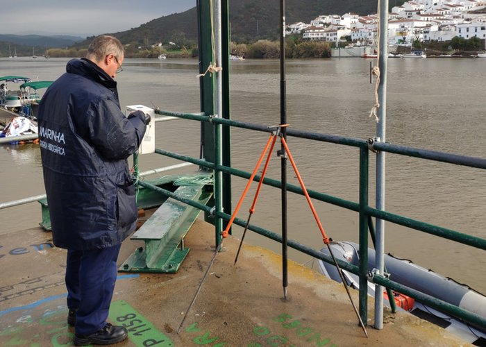
The mission is currently attended by 5 service members at the Hydrographic Institute: two hydrographers, a hydrography technician, a boatmaster, a equipment maintenance technician.
Hydrographic survey on the Guadiana River - 2020
Hydrographic survey on the Guadiana River - 2020
Hydrographic survey on the Guadiana River - 2020
Hydrographic survey on the Guadiana River - 2020
Hydrographic survey on the Guadiana River - 2020
Hydrographic survey on the Guadiana River - 2020
123 
2020-01-23