

Hydrographic Survey in the Azores Archipelago – Flores Island
Since April, the Hydrographic Brigade has carried out hydrographic surveys throughout the Azores archipelago, having already searched the coastal areas of the islands of S. Miguel, Pico, Faial, São Jorge, Graciosa and Flores.
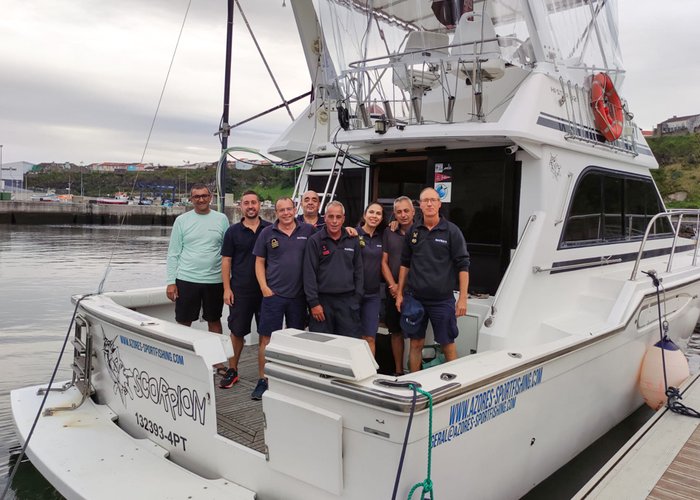
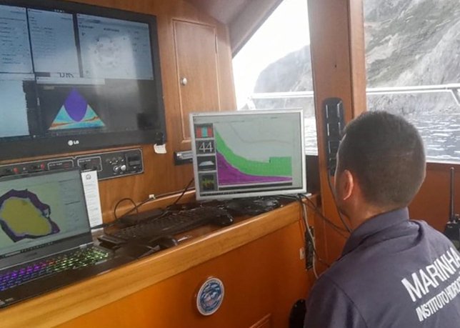
Recently, the surveys on Graciosa Island were completed, with a rented vessel, Scorpion, equipped with a Kongsberg transducer EM 2040C and a Seapath 130, installed in a structure manufactured by the Hydrographic Brigade military to adapt these equipment to a vessel that had never been used in hydrography.
There's still a team on Third Island that will use the survey vessel. Seagull to probe the port of Angra do Heroísmo, finalizing the planned survey for this island.
These teams have also carried out topographic surveys of the port infrastructure and of the navigation aid existing on the islands, the result of reconfiguration works that several ports in the archipelago have suffered.
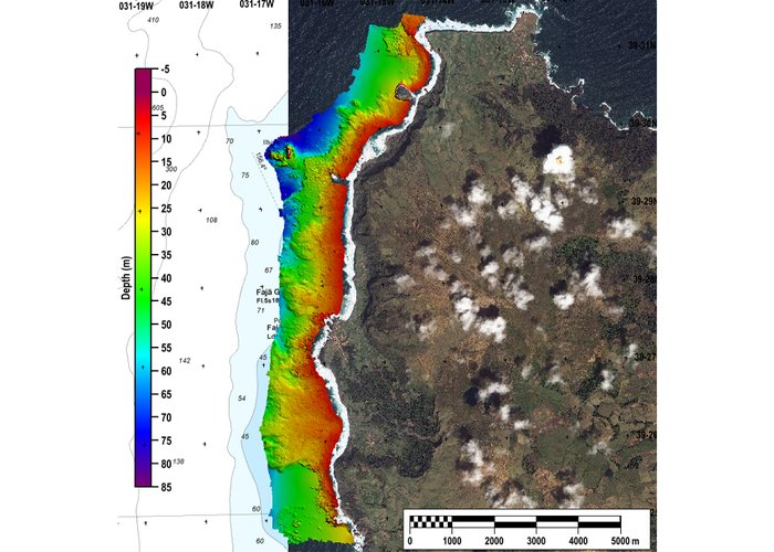
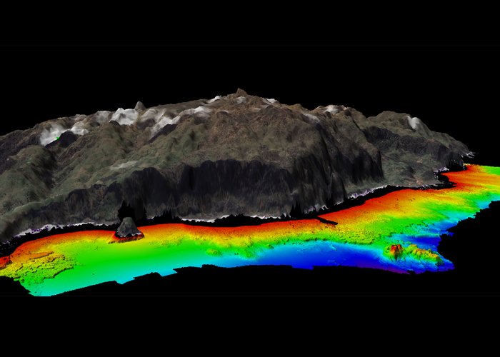
This work is the result of a very close cooperation between the Hydrographic Institute and the General Directorate of Maritime Policies of the Regional Government of the Azores, which has been taking place since 2018, and whose products will allow these institutions to have high resolution marine bottom batimetric models to support the Maritime Space Planning process, in the definition of policies related to the Protected Marine Areas, as well as to update the nautical mapping of the region, of indispensable use for any navigator.
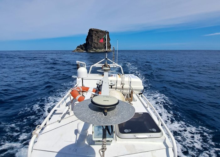
By way of curiosity, the team that carried out the work on the island of Flores, visited the westernmost point of Portugal and Europe, having bypassed the island of Monchique. Check the photos.
Hydrographic Survey in the Azores Archipelago – Flores Island
Hydrographic Survey in the Azores Archipelago – Flores Island
Hydrographic Survey in the Azores Archipelago – Flores Island
Hydrographic Survey in the Azores Archipelago – Flores Island
Hydrographic Survey in the Azores Archipelago – Flores Island
150 
2023-07-28