

Hydrographic Survey in Portimão
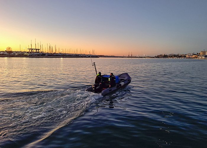
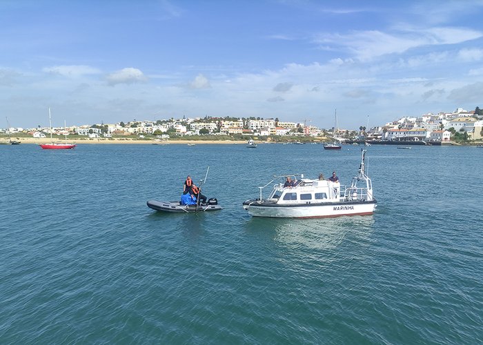
During March, the Hydrographic Institute, at the request of the Administration of the Ports of Sines and the Algarve S.A., carried out the hydrographic survey of Portimão port and bar.
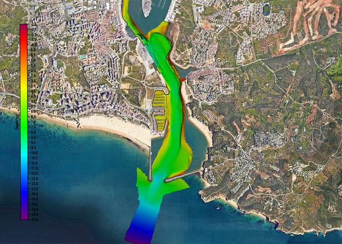
This port, focused essentially on tourism, has been asserting itself as a destination for cruise ships, contributing to the development of the region by attracting visitors from the four corners of the globe. Therefore, this hydrographic survey is of particular importance, particularly for the study of sedimentary dynamics occurring in the last four years (when the last survey was carried out on site), making it possible to assess whether the depths in the port are appropriate to the navigation practice that is intended to be maintained there.
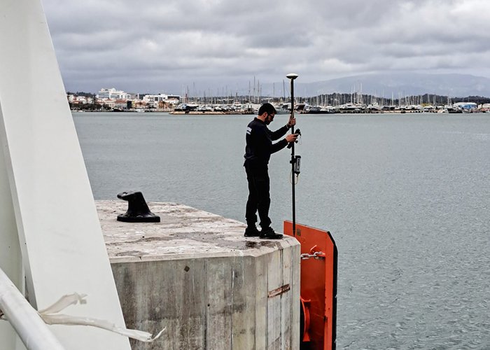
A team of five members of the Hydrographic Brigade (BH) conducted hydrographic surveys with multi-beam probe systems and simple beam systems. These systems are extremely advanced from a technological point of view, allowing precise mapping of the seabed with high resolution. In addition, the topography of new Dukes d’alba was carried out, which were built on the commercial pier of Portimão, enabling the updating of the nautical cartography that will serve as a reference for ships docking at this location.
The task of the BH was successfully completed, having once again contributed to the knowledge of the sea and its dynamics in one of the tourist destinations of excellence in our country, in a decisive, competent and relevant way to the vectors of the development of the sea economy.
Hydrographic Survey in Portimão
Hydrographic Survey in Portimão
Hydrographic Survey in Portimão
Hydrographic Survey in Portimão
102 
2023-03-23