

Hydrographic survey via the Douro – Albufeiras de Crestuma and Carrapatelo
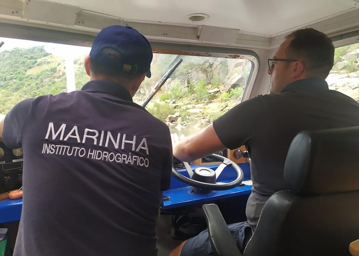
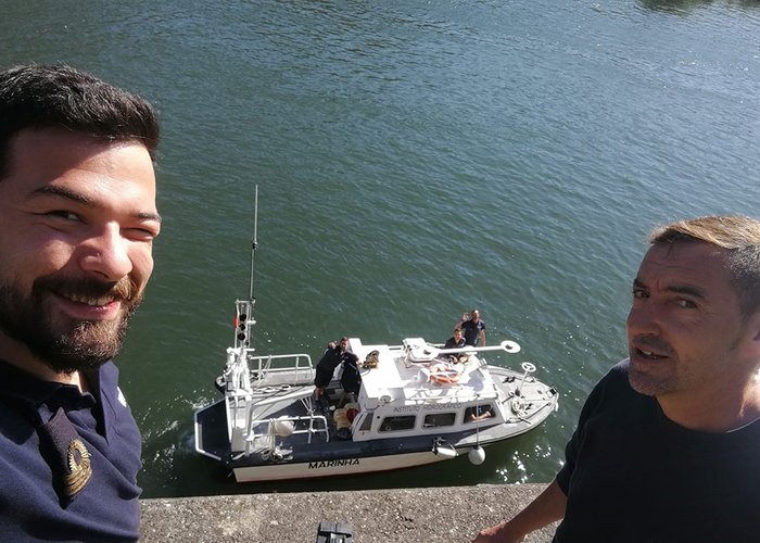
The campaign on the Douro waterway continues with machines all ahead! After the completion of the Hydrographic Survey (LH) in the estuary of the river, the Hydrographic Brigade (BH) followed for upstream, engaging in the “geological poem” of Miguel Torga, until reaching the Alto Douro Vinhateiro.
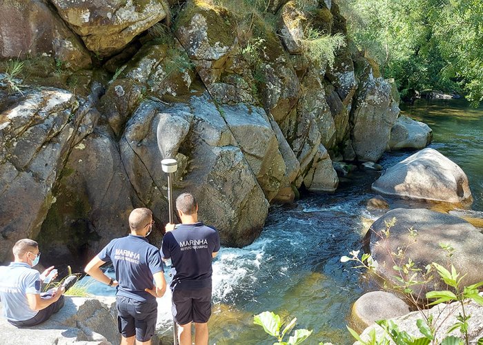
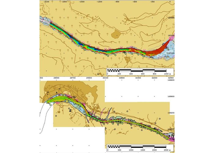
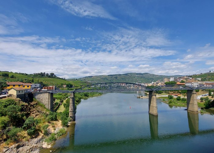
In the week from 31 May to 4 June, the LH of the Albufeira de Crestuma was carried out, from the area of Vimieiro to the Carrapatelo dam. The following week, the work took place between the city of Peso da Régua and the Bagaúste dam. These phases of the LH totaled 15 hours of effective probing and 56 hours of navigation, over 134 km traversed in spin.
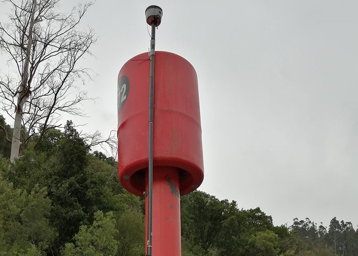
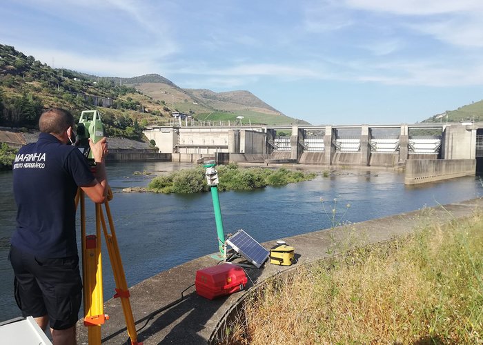
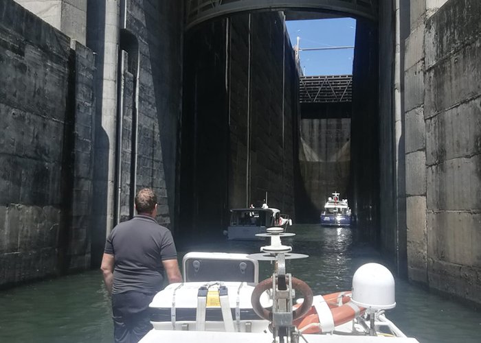
In addition to the hydrographic surveys, further work was carried out to ensure the safety of navigation on the canal through which more than 1 600 000 passengers and 40 000 tonnes of goods passed on board 186 separate vessels in 2019. This work consisted of coordinating navigation aids and measuring the height available under electric cables across the riverbanks.
Therefore, it will be possible to ensure that the current cartography and nautical publications are in conformity with up-to-date batimetric and maritime marking information.
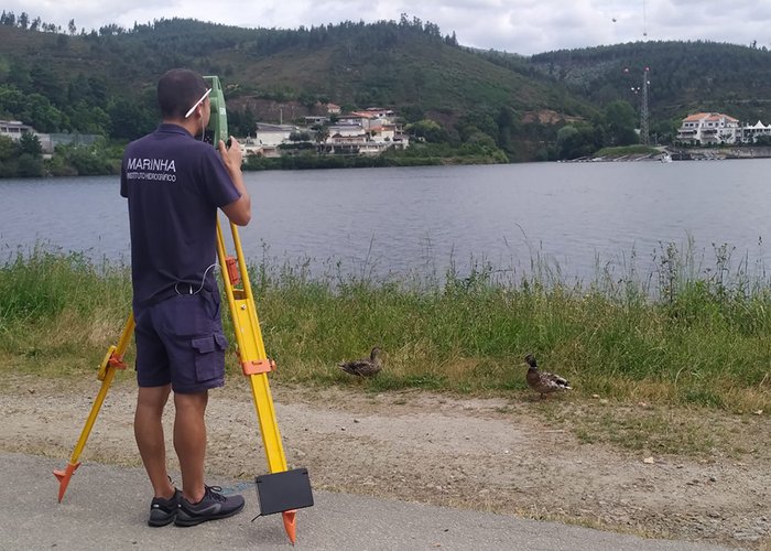
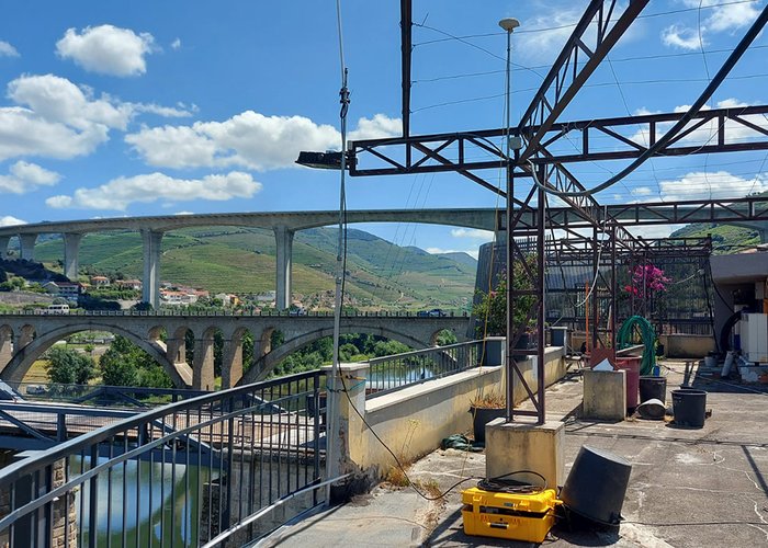
It was also possible to assist the Regua Maritime Delegation in confirming the location of the limit of its jurisdiction in the Bestança River (corresponding to the maximum share of exploitation of the Carrapatelo albufeira).
During the last week, two EHO students were present, taking advantage of the opportunity to put into practice various knowledge acquired during the Specialization Course of Sergeants in Hydrography.
BH will continue in the coming weeks the LH in the albufeiras of Régua and Valeira, maintaining the high standards of performance and professionalism that characterize it, among sublime landscapes and the taste of the sympathy of the local population.
Hydrographic survey via the Douro
Hydrographic survey via the Douro
Hydrographic survey via the Douro
Hydrographic survey via the Douro
Hydrographic survey via the Douro
Hydrographic survey via the Douro
Hydrographic survey via the Douro
Hydrographic survey via the Douro
Hydrographic survey via the Douro
Hydrographic survey via the Douro
109 
2021-06-15