

Hydrographic survey via the Douro – Albufeiras da Régua e Valeira
The water catchment campaign on the Douro waterway is over! This campaign included a Hydrographic Survey (LH), from the Douro river estuary to the Alto Douro, in about 180km.
In the weeks from 14 June to 3 July, the LH of the Albufeira da Régua was carried out, from the mouth of the Tua river to the Valeira dam and an LH between the mouth of the Sabor to the Pocinho dam. These phases of LH totaled 48 hours of effective probing and 85 hours of navigation, over 201 km traversed in spin.
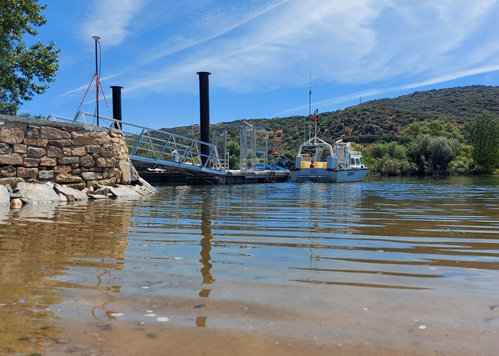
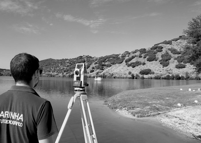
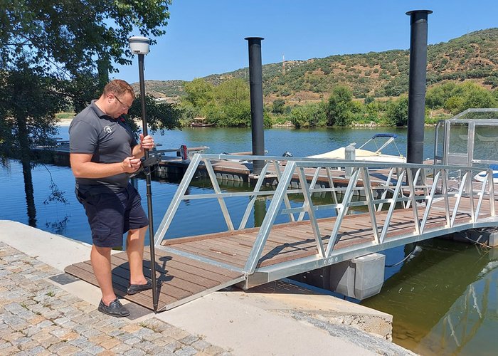
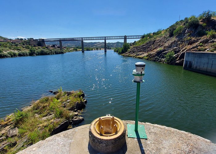
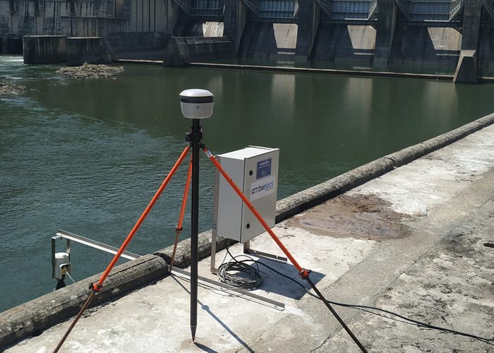
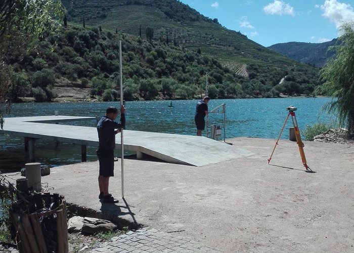
In addition to the hydrographic surveys, other work was carried out to ensure the safety of waterway navigation. This work consisted of coordination of navigational aids, topographic surveys of new structures/caals, geometric levelings and measuring the height available under electric cables crossing the riverbanks.
Thus, it will be possible to obtain the updated knowledge of the morphology of the Douro river bottom, ensuring that the cartography and the current nautical publications are compliant, with updated batimetric information and maritime marking.
During the LH, three EHO students were present, taking advantage of the opportunity to put into practice various knowledge acquired during the Specialization Course of Hydrography – Category B.
The greatest difficulty experienced during the LH were the high temperatures that were felt and especially the area from the Foz do rio Tua to the Valeira dam, because it is a remote area with few accesses and where the river is narrower, significantly increasing the logistics and execution of the LH.
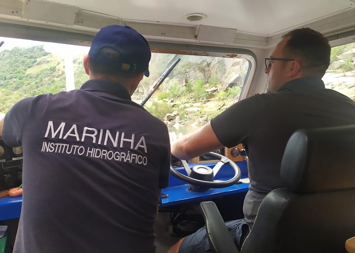
This survey was carried out on board the boat Seagull, equipped with a sophisticated multi-beam probe system 2040C, whose ability to acquire high quality data allows generating high resolution batimetric models, enabling a detailed characterization of the background.
Three hydrographers, one equipment maintenance technician and two boat owners participated in this mission.
Hydrographic survey via the Douro – Albufeiras da Régua e Valeira
Hydrographic survey via the Douro – Albufeiras da Régua e Valeira
Hydrographic survey via the Douro – Albufeiras da Régua e Valeira
Hydrographic survey via the Douro – Albufeiras da Régua e Valeira
Hydrographic survey via the Douro – Albufeiras da Régua e Valeira
Hydrographic survey via the Douro – Albufeiras da Régua e Valeira
Hydrographic survey via the Douro – Albufeiras da Régua e Valeira
130 
2021-07-07