

Hydrographic Survey in Luanda Bay – Angola, inserted in the Open Sea campaign 21.2
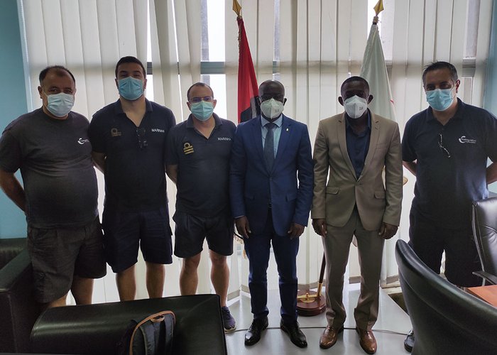
A team of the Hydrographic Brigade (BH), consisting of 5 military personnel, conducted a hydrographic survey in Luanda Bay from November 29 to December 17, 2021, framed in the Open Sea initiative 21.2.
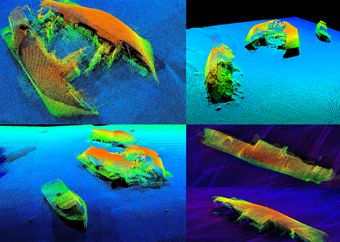
The main purpose of the survey was to update the CN360 nautical letter of the Port of Luanda, whose current edition is February 1971.
The second objective was to collaborate in the operation of the vessel Kilamba of the Angola Hydrographic and Maritime Signaling Institute (IHSMA), equipped with a multi-beam probe system EM2040C and give training on-the-job to three IHSMA technicians and two Angolan Navy officers.
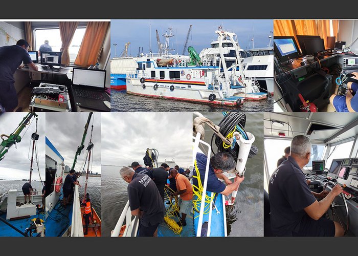
BH used the waterboat Scuba diving, equipped with a high resolution multi-beam system, embedded in the NRP Don Carlos for research work inside the port of Luanda. This medium was available from 5 to 14 December, during the stay of the ship in Luanda. The NRP Don Carlos conducted surveys in the outer area of the port.
In addition to the survey work, the following activities were also developed:
- installation and operation of the multi-beam probe system on the Kilamba vessel;
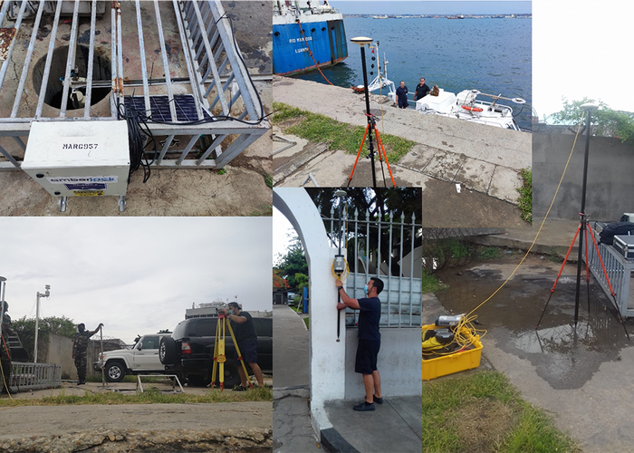
- quay topography in two distinct locations to support georeference work on topography with satellite images;
- coordination of navigation aid in the survey area;
- coordination of a geometrically levelled support point for the study of geoid ripple for 6h, installation of a GSM NTRIP reference station and expedited coordination of a local leveling mark;
- Study and comparison of the tide observed in tidegraphs and astronomical predictions.
The team involved felt completely accomplished by being able to accomplish the entire mission assigned to them in a short time.
There was also an opportunity to complement the survey in the area assigned to the NRP Don Carlos and contribute to the formation of the Angolan teams, which were integrated.
Hydrographic Survey in Luanda Bay – Angola, inserted in the Open Sea campaign 21.2
Hydrographic Survey in Luanda Bay – Angola, inserted in the Open Sea campaign 21.2
Hydrographic Survey in Luanda Bay – Angola, inserted in the Open Sea campaign 21.2
Hydrographic Survey in Luanda Bay – Angola, inserted in the Open Sea campaign 21.2
Hydrographic Survey in Luanda Bay – Angola, inserted in the Open Sea campaign 21.2
Hydrographic Survey in Luanda Bay – Angola, inserted in the Open Sea campaign 21.2
91 
2021-12-28