

Glider ends mission on the Portuguese coast
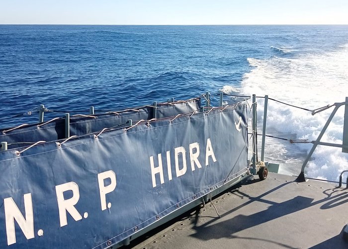
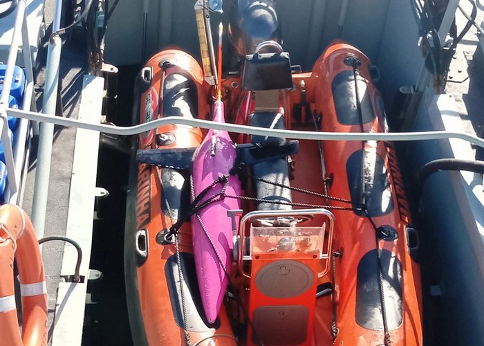
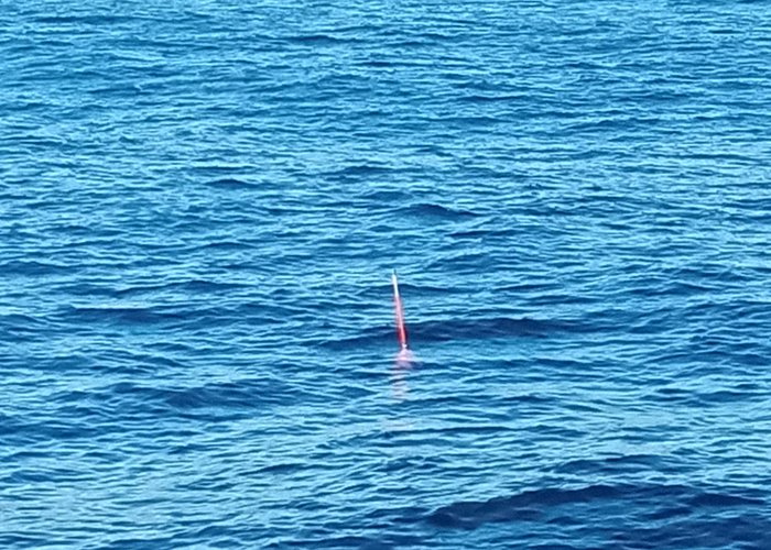
After 3 months of mission at sea, with about 980 nautical miles traveled, the equivalent of more than 1800 kilometers, from the coast of Ireland to Portugal, the glider at the service of the iFado project on the PAAnoramic mission was collected on March 15, by the Hydrographic Institute with the support of the Portuguese Navy's NRP Hydra ship.
The PAAnoramic mission is part of the iFado Project, which targets three glider missions simultaneously covering the seas of Ireland, Spain and Portugal, with the aim of acquiring various data from the Ocean that will contribute to the monitoring of deep waters of the Atlantic. This is the first international ocean monitoring mission with North Atlantic multiplatforms, in which several gliders collect autonomously data from the ocean.
This glider (the second in the series of three), sailed from the NOC (National Oceanography Centre) in Ireland, passing through the observatory of the Spanish Institute of Oceanography, ending 20 miles west of Cape Espichel, where it was collected by the Hydrographic Institute (IH).
The third glider will be from the PLOCAN (Canary Oceanic Platform), is already in the IH facility, where it was calibrated in the Calibration Laboratory and will be launched west of Cape Espichel, on a mission planned for next week aboard the NRP Andromeda. You will sail to the MONICAN/MONIZEE Observatory (Ocean and Coastal Nazareth buoys) from where you will head for the Canary Islands in the summer.
Glider ends mission on the Portuguese coast
Glider ends mission on the Portuguese coast
Glider ends mission on the Portuguese coast
135 
2023-03-16