

European Marine Observation and Data Network
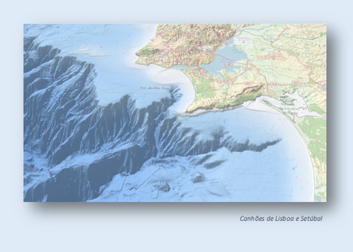
Launched for the first time in 2010, the Digital Land Model (MDT) EMODnet became a reference for a wide range of applications in marine sciences, a single point of access to baptismal data, collected by an increasing number of European public organisations, including the Hydrographic Institute.
An updated version of the model, launched at the end of 2018, offers a better resolution, powerful 3D viewing features and wide coverage of Europe’s seas. It is available for free viewing and download on the EMODnet Bathymetry portal (http://www.emodnet-bathymetry. me/).
With the ambition to further improve the quality and accuracy of MDT, considering both European ocean waters and coastal zones, EMODnet invites potential high-resolution batimetric data providers to help create an even better product. Visit the EMODnet Data Ingestion portal to learn more! (https://www.emodnet-ingestion. me/).

European Marine Observation and Data Network
European Marine Observation and Data Network
115 
2019-07-11