

DRONE-based Coastal and Ocean Observation System
The DRONES-based Coastal and Oceanic Observation System (SOCO-DRONE) is a project developed by UAVISION, in collaboration with the Hydrographic Institute and DEMOS Engineering S.A.
In an initiative as ambitious as innovative, two fixed-wing and high-endurance UAVs will be designed and developed, based on the current WINGO platform of UAVISION, which will be adapted to ocean monitoring. Aircraft will weigh less than 40 kg, which will be achieved at the expense of a large miniaturisation capacity of the sensors built by UAVISION.
After the necessary tests, a demonstration will take place on a 500 km round-trip flight to the Gorringe bank (protected marine area located 120 nautical miles to the WSW of Cabo de S. Vicente, recently included by the Government in the National List of Natura 2000 Sites). It will be up to the Hydrographic Institute to design and validate the ocean observation component, assuming the double role of partner and final recipient.
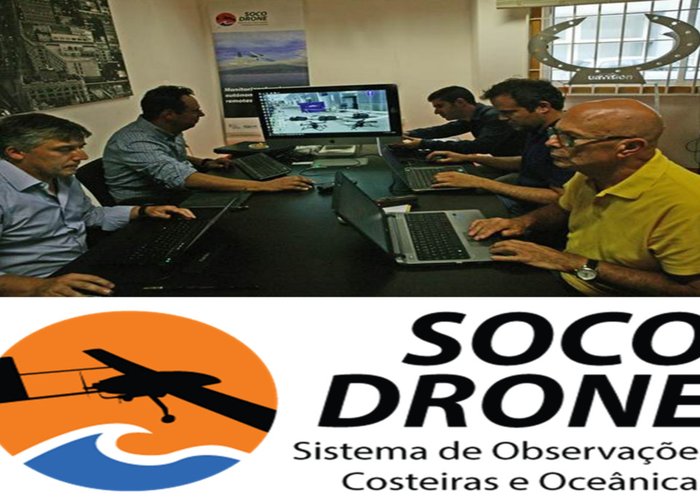
The SOCO-Drone project had its Kick-off meeting on September 15.
The project will take place over the next 11 months and its final demonstration will be planned in August 2016.
The objectives of the project are:
- What? Create a medium-sized drone capable of being more than 10 hours in the air and traveling about 500 km;
- What? use a second unit to enhance the ability to transport sensors/measurers by relaying between the most remote device and the ground control;
- Allow observation by sensors launched and their instrumented, via satellite;
- Study sea level accurately using frequencies of the global satellite positioning system received on a mobile platform.
DRONE-based Coastal and Ocean Observation System
150 
2015-10-02