

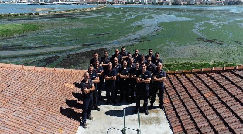
Hydrographic Brigade
The Hydrographic Brigade is the operational arm of the Hydrographic Institute, responsible for carrying out hydrographic surveys and work at sea and on land.
The Hydrographic Brigade as it exists today is the result of the merger of Hydrographic Brigade No. 1, established on 9 February 1967, and Hydrographic Brigade No. 2, created on 11 October 1976.
Composed of military personnel from various specialities, including those with training in hydrography recognised by the International Hydrographic Organisation, the Hydrographic Brigade has been based at the Vice-Admiral Sarmento Gouveia Hydrographic Base in Seixal since 1995.
Using technologically advanced systems and equipment, such as state-of-the-art multibeam echo sounders, aerial LiDAR and autonomous vehicles, among others, some of the main tasks of the Hydrographic Brigade consist of the following:
Acquisition, through systematic surveys
Acquisition, through systematic surveys carried out at sea, along the coast and on land, of georeferenced data related to:
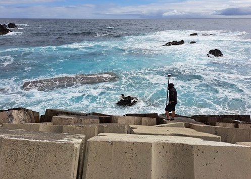
- Coastline configuration, including infrastructure built for maritime navigation, i.e. all structures on land that are of interest to navigators;
- Depths in areas of interest (including all potential hazards to navigation and other maritime activities);
- Seabed morphology;
- Tides and currents;
- Water column information (object detection, hydrothermal vents, gas plumes).
Process the information acquired
Process the information acquired in order to contribute to a geospatial database capable of producing thematic maps, nautical charts, and other types of documentation for the following purposes:
- Ensure navigation safety and ease traffic management;
- Support naval operations;
- Assist the administration of coastal areas;
- Promote the protection and preservation of the marine environment;
- Enhance the exploitation of marine resources and the placement/construction of submarine infrastructure (e.g. submarine cables/pipelines);
- Support the definition of maritime boundaries (implementation of the Law of the Sea);
- Support scientific studies.
The process of acquiring and processing topographic and hydrographic data is certified by the NP EN ISO 9001:2008 standard under the Hydrographic Institute's Quality Management System.
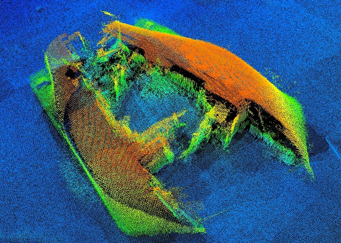
Sunken ships detected by the Hydrographic Brigade's sounding systems
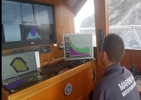
Hydrographic survey with multibeam echo-sounder near the coast
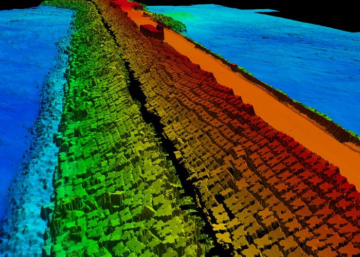
Final product of a topographic and hydrographic survey of port infrastructure combining multibeam echo sounder and aerial LiDAR Date
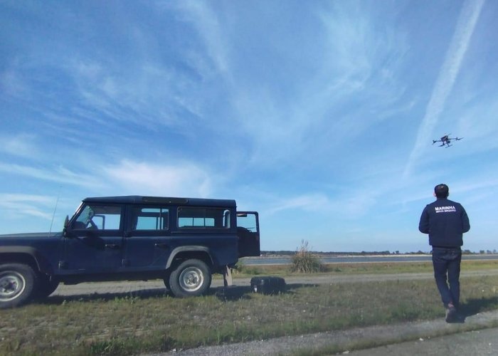
Drone pilot conducting a survey using LiDAR technology
Topographical survey of port infrastructure
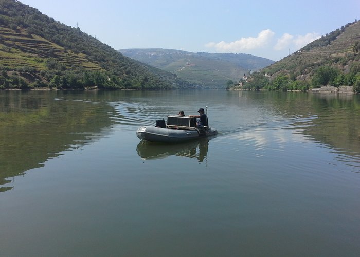
Rubber boat survey for hydrographic data acquisition
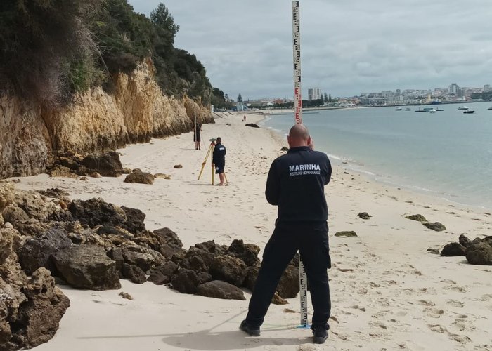
Geometric Levelling
657 
2021-02-17