OceanMet
Cost-efficient oceano-meteorological data service for reliable real-time information and marine forecast
The project OCEANMET aimed to demonstrate the technical and commercial viability of a wave data service, generated by optimized inertial sensors likely to be installed in existing buoys to quickly create a network of stations. The pilot demonstration focused on the South Atlantic area (from the Bay of Biscay to the Gulf of Cadiz) and the Mediterranean Sea, involving the installation of several stations in these areas.
The Hydrographic Institute was responsible for the validation and analysis of the data collected by the wave sensors, comparing the data collected with the IH buoy network and the Spanish buoy network.
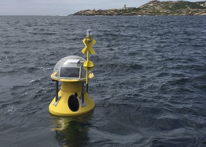
Optimized inertial sensors installed on existing buoys
2018-12-01 | 2021-03-31
100 %
95 
2025-09-02