

EMODnet Bathymetry
EMODnet HRSM - High Resolution Seabed Mapping
The European Marine Observation and Data Network (EMODnet), an initiative of the Directorate-General for Maritime Affairs and Fisheries of the European Commission (DG MARE), is a partnership of more than one hundred European organizations working together to collect marine data from various sources, with the goal of making them more accessible and interoperable.
The EMODnet HRSM project aims to create and maintain an operational service that provides free and open access to bathymetric models of the seafloor and coastal areas of European marine basins, at the highest possible resolution.
For more information, visit the EMODnet Map Viewer.
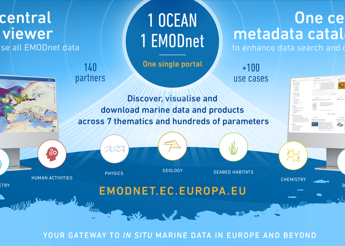
EMODnet - 1 Ocean 1 Portal
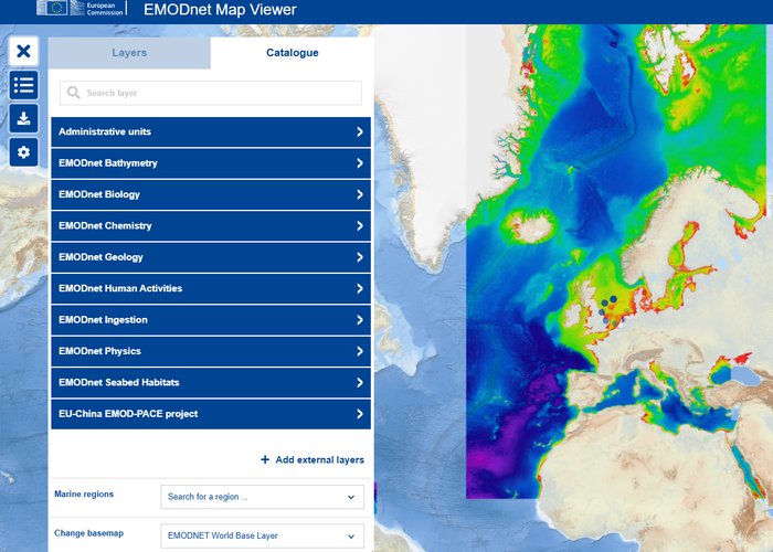
EMODnet map viewer

Modelo do fundo das bacias marítimas Europeias
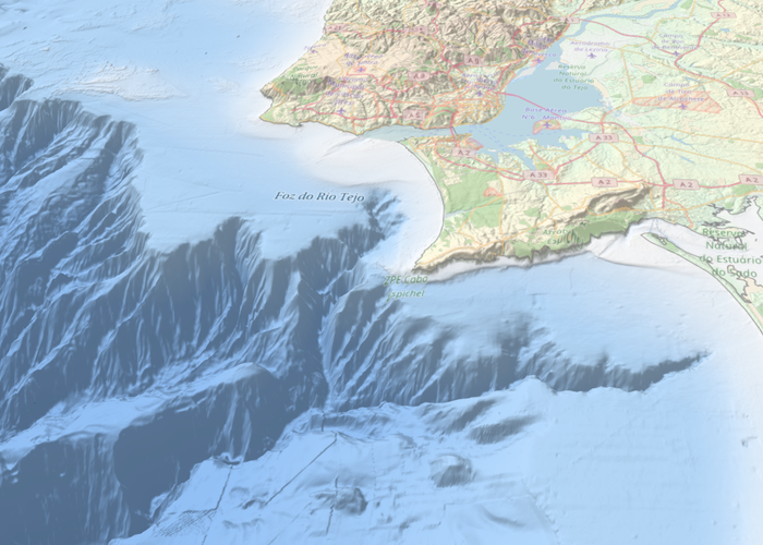
Modelo do fundo - Lisboa
2024-12-01 | 2026-12-31
8 %
642 
2017-01-01